What is recorded here
The small estate of Crenard was acquired by the Flemings of Slane (ME0190933002-), perhaps during the Plantation. According to contemporary documents there was a bawn and house of lime and stone (Davies 1948a, 94). Land at Crenit (78) is indicated on the Down Survey (1656-8) barony map, but no house is represented. See this web-page accessed on 18/04/2016 http://downsurvey.tcd.ie/down-survey-maps.php#bm=Clonmoghan&c=Cavan Davies (ibid.) identified Crenit with Bellville where there is the remains of a low, subrectangular, grass-covered earthen platform (dims c. 53m N-S; 38m E-W) with apparently rounded corners, extending W from the present early 18th-century house and farm complex. (ITA Survey 1941)
Date of upload: 18 April, 2016
The monument record does not grant public access. Check the route and ask the landowner before entering private land.
- What survives
- Recorded monument
Places near here
 BellvilleMountain / peak · 857 yd
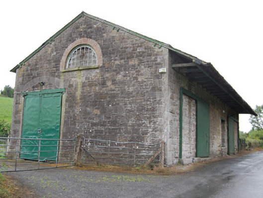 goods shedgoods shed · 869 yd
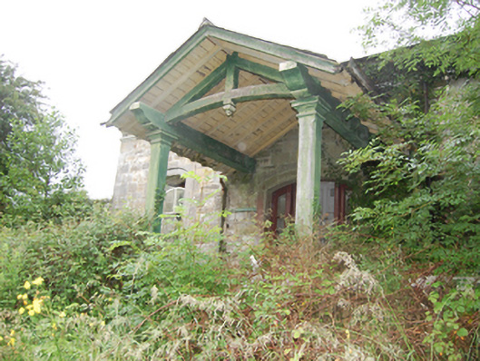 Crossdoney Railway Stationrailway station · 912 yd
 Captain Thomas Sheridan IRAMonument · 977 yd
 Fleming's FollyForest · 1009 yd
 Coolnacarrick ForestForest · 1148 yd
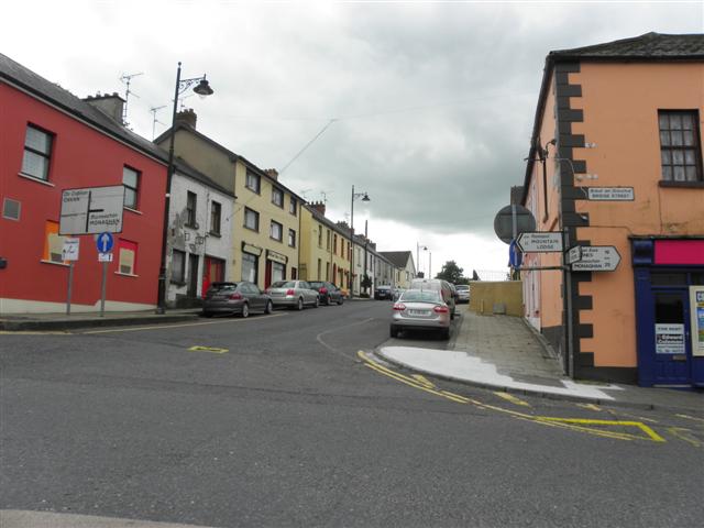 IndicatedFairy fort / earthen ringfort · 1203 yd
 Castle CosbyCastle, unclassified · 1604 yd
 Lismore CastleCastle, unclassified · 1.2 mi
 DrumcarbanMountain / peak · 1.6 mi
 Carricknagore RockNamed rock · 2.9 mi
 Red IslandIslet · 3.2 mi