What is recorded here
The Down Survey barony map (1656-8) shows a house in a detached part of an enlarged Ballymacane (23) in Tacumshin parish, and the terrier or commentary of the Down Survey parish map in NLI (ms 725: microfilm; P 7384, N 6380) mentions a slate house. The precise location of this feature, and even its present townland name is not known.
See the attached section of the Down Survey barony map (N at right) reproduced courtesy of the National Library of Ireland
Compiled by: Michael Moore
Date of upload: 3 January, 2014
Amended: 26 February, 2014
The monument record does not grant public access. Check the route and ask the landowner before entering private land.
- What survives
- Recorded monument
Places near here
 Ballymacane CastleCastle, unclassified · 218 yd
 IndicatedField system · 502 yd
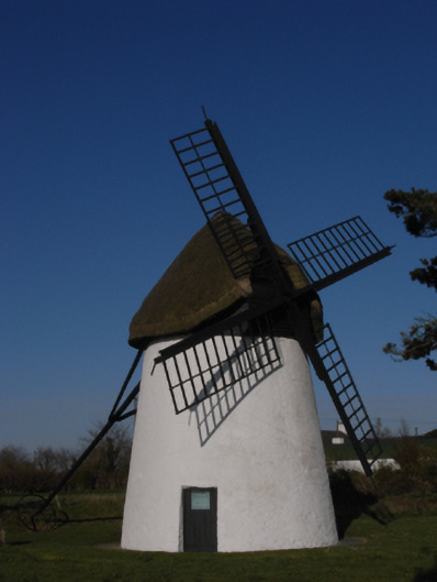 mill (wind)mill (wind) · 545 yd
 Windmill (Corn) (Disused)Windmill · 546 yd
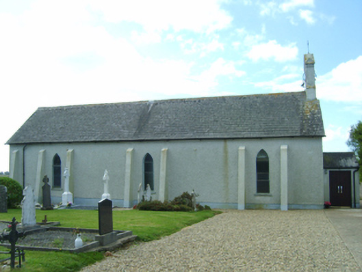 Saint Catherine's Catholic Churchchurch/chapel · 664 yd
 Castle (in ruins)Castle, tower house · 1031 yd
 Wilson's MoorWood · 1624 yd
 Sigginstown Island (Great)Island · 1.2 mi
 The HamBay · 1.3 mi
 Sigginstown Island (Little)Islet · 1.4 mi
 The Bull RockForest · 2.6 mi
 The Chour / The Hill of the ChourMountain / peak · 2.6 mi