What is recorded here
Four medieval plots were identified above the fill of the Viking ditch (WA009-005006-) on Bakehouse Lane (L 60m) dating from early/mid-12th century (Level 7) to the early 13th century (Level 12). Six Dublin Type 1 houses and one Dublin Type 2 house were recovered, each aligned N-S and located c. 5m from a Viking wall. (McCutcheon 1997b, 164-72)
McCutcheon, S. W. J. (1997b) 'Section 6 (iv) Catalogue of houses (d) Bakehouse Lane, Insula South' in M. Hurley et al. (1997) Late Viking age and medieval Waterford: excavations 1986-92, 164-175. Waterford Corporation.
The above description is derived from the published 'Archaeological Inventory of County Waterford' (Dublin: Stationery Office, 1999). In certain instances the entries have been revised and updated in the light of recent research.
Date of upload/revision: 23 December 2008
The monument record does not grant public access. Check the route and ask the landowner before entering private land.
- What survives
- Recorded monument
Places near here
 Waterford City Central Librarylibrary/archive · 29 yd
 Convent of the Sisters of Charityconvent/nunnery · 59 yd
 Habitation site in Waterford CityHabitation site · 190 yd
 Holy well in Waterford CityHoly well · 198 yd
 9/11 MemorialMemorial · 203 yd
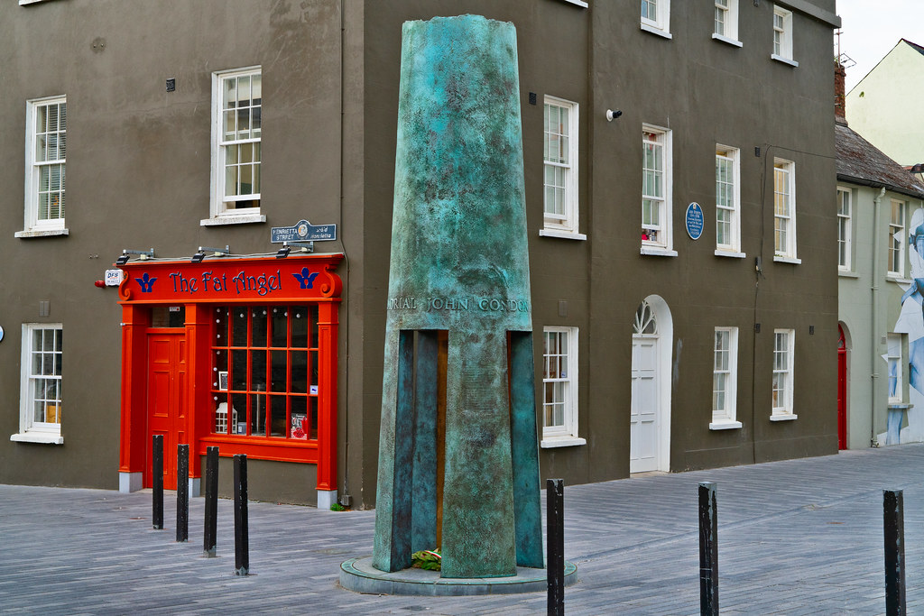 John Condon MemorialMemorial · 211 yd
 The Viking TriangleHeritage attraction · 221 yd
 Bishop's Palace MuseumMuseum · 234 yd
 Beach TowerCastle · 282 yd
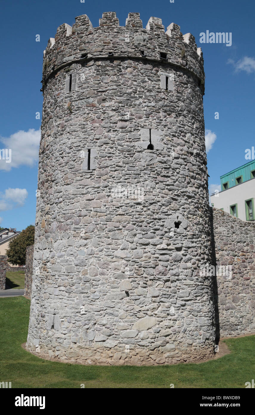 Waterford City WallsVisitor information · 287 yd
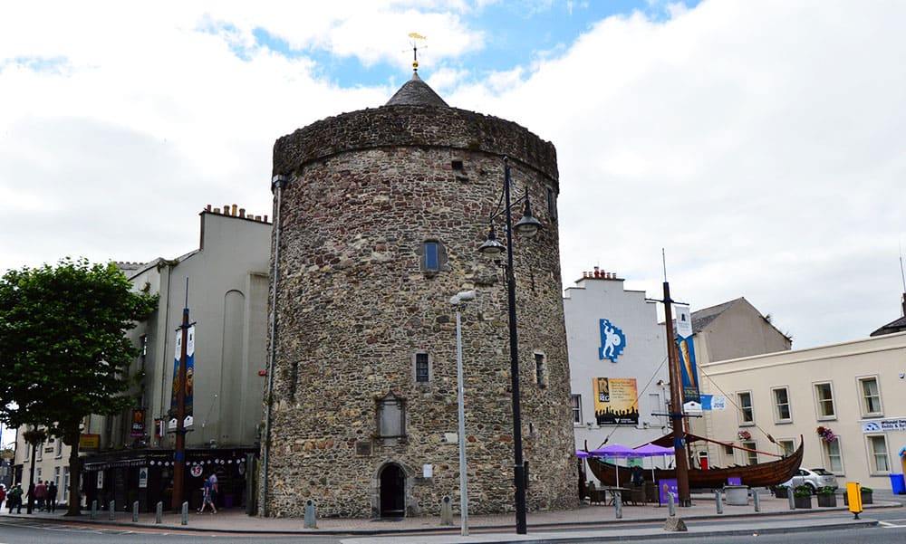 Semi-Lunar TowerCastle · 287 yd
 Viking TriangleVisitor information · 407 yd