
What is recorded here
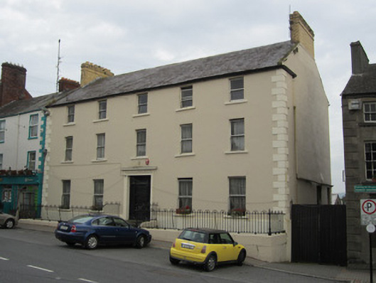
Terraced three-bay three-storey over basement house, c.1880, with canted-bay window to front façade. Pitched roof with fibre-cement slates, replacement decorative terracotta ridge and cut-stone skews. Brick chimneystacks on both gable ends with over-sailing courses and cast-iron ogee-profile rainwater goods held on projecting brick cornice and supported from below by carved stone corbels with square-profile downpipe. Flemish bonded brick walls to upper floors separated by moulded render string course, and painted smooth render to ground floor. Moulded stone window sills supported by pairs of carved stone corbels, and square-headed openings have one-over-one pane timber sliding sash frames with ogee horns. Flat lead roof to bay window with moulded render string course and timber cornice, with some remaining moulded detail to smooth rendered piers to inner sides of window openings which have replacement timber frames. Square-headed doorway with moulded render architrave, overlight and four-panel timber door with brass door furniture. Cast-iron railings to front of bay window with basement window lights on ground either side of bay.
This elegant building has distinctive brick walling and discrete but well executed stone details. It contributes to the varied roof lines and facades of the streetscape. It has retained much of its character and original features since at least the early twentieth century as evidenced from historic photographs. The variety of materials, brick, carved stone and cast-iron enhances the visual appearance of this building.
This does not grant access. Most recorded buildings are privately owned; view them only from public ground unless the owner allows entry.
Places near here
 Hope Arms Hotelhouse · 27 yd
 Onomy Househouse · 56 yd
 Big Tom Memorial StatueMemorial · 80 yd
 Bawn in OnomyBawn · 387 yd
 Blaney CastleCastle · 409 yd
 The CrescentMemorial · 896 yd
 Harper's IslandIslet · 1573 yd
 Garmany's IslandIslet · 1681 yd
 Lough MucknoLake and park landscape · 1693 yd
 Monaghan WayWalking route · 1.4 mi
 Fortification in ConcraFortification · 1.5 mi
 Dairy HillMountain / peak · 1.5 mi
Other information
Photo: National Inventory of Architectural Heritage · Website use allowed for educational or private purposes with source credit