What is recorded here
Situated on a terrace, on N-facing slope of a hill, in pasture, with excellent views to W and N. In the S quadrant of the interior of a ringfort (WM024-027----) are the remains of a rectangular-shaped house site (dims. 5m NE-SW; 4m NW-SE) defined by a slight earthen bank (overall Wth 1.4m; Wth at top 0.4m; H 0.25m) with a gap (Wth 3.3m) in the S side, at the SW corner, which may represent a doorway. A low rise or platform is located to N of the house site and a second low rise is visible within the NW-quadrant of the ringfort.
Compiled by Alison McQueen, Vera Rahilly and Caimin O’Brien.
Date of upload: 31 July 2019
The monument record does not grant public access. Check the route and ask the landowner before entering private land.
- What survives
- Recorded monument
Places near here
 Rathfarsan, HachuredFairy fort / earthen ringfort · 1 yd
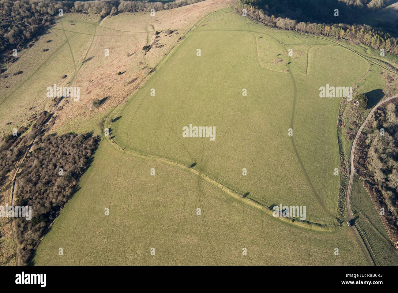 Hilltop enclosure in Rathnew,ushnagh Hill,mweelraHilltop enclosure · 857 yd
 gates/railings/wallsgates/railings/walls · 908 yd
 Hill of UisneachMountain / peak · 984 yd
 Boleyvillish CastleCastle · 1107 yd
 CastleCastle, tower house · 1196 yd
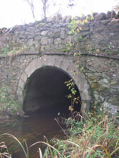 Corr Bridgebridge · 1222 yd
 European ashEuropean ash · 1.3 mi
 Ancient Ring FortWood · 2.7 mi
 KnockastiaMountain / peak · 5.0 mi
 Abbeyshrule AbbeyRuins · 7.0 mi
 Guest ServicesVisitor information · 7.4 mi