What is recorded here
On NW slope of Cnoc Úraid c. 175m SW of a stone pair (GA052-007----). It is a subcircular structure (N-S 10.9m, E-W 9m) built of large boulders and utilising areas of rock outcrop. The wall is poorly defined along eastern side, and there is a possible entrance at W.
The above description is derived from the published 'Archaeological Inventory of County Galway Vol. I - West Galway'. Compiled by Paul Gosling (Dublin: Stationery Office, 1993).
Date of upload: 05 August 2010
The monument record does not grant public access. Check the route and ask the landowner before entering private land.
- What survives
- Recorded monument
Places near here
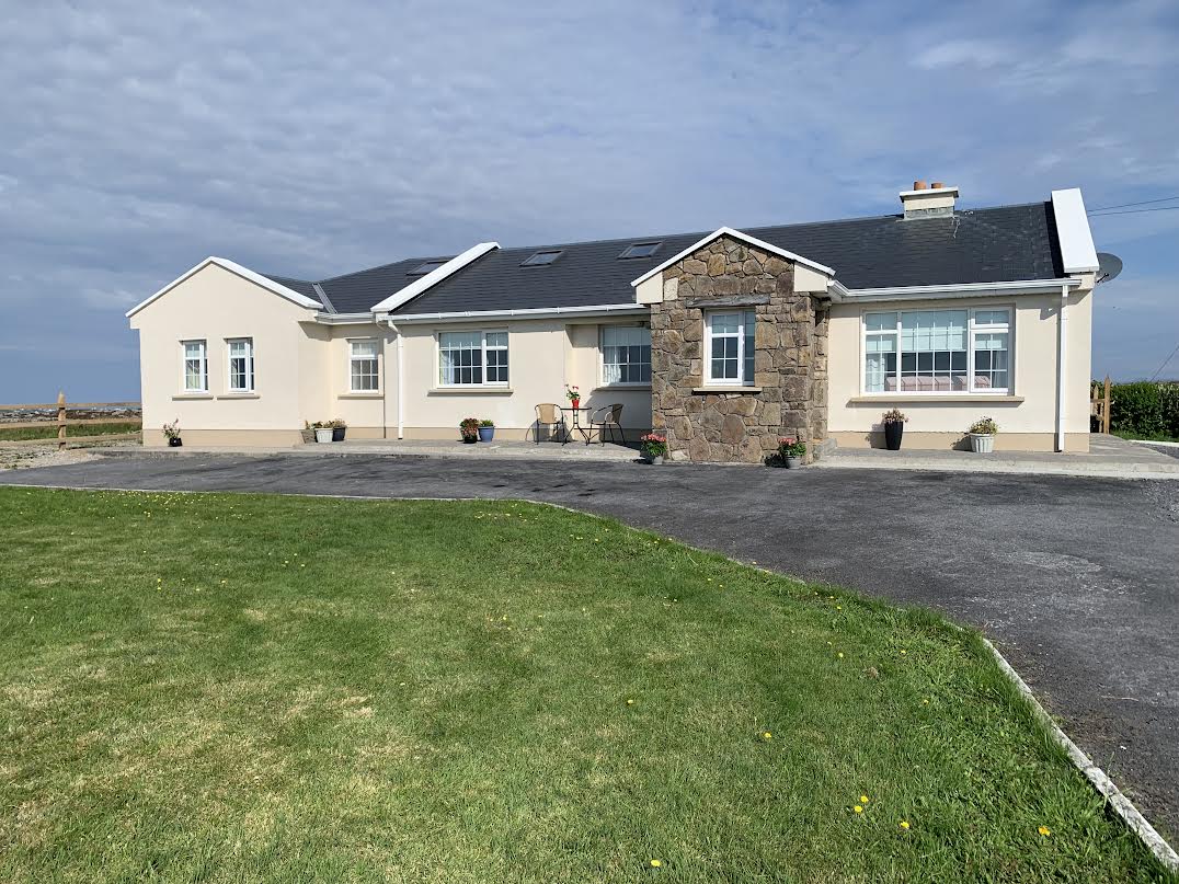 Seanadh BhéaraMountain / peak · 1.0 mi
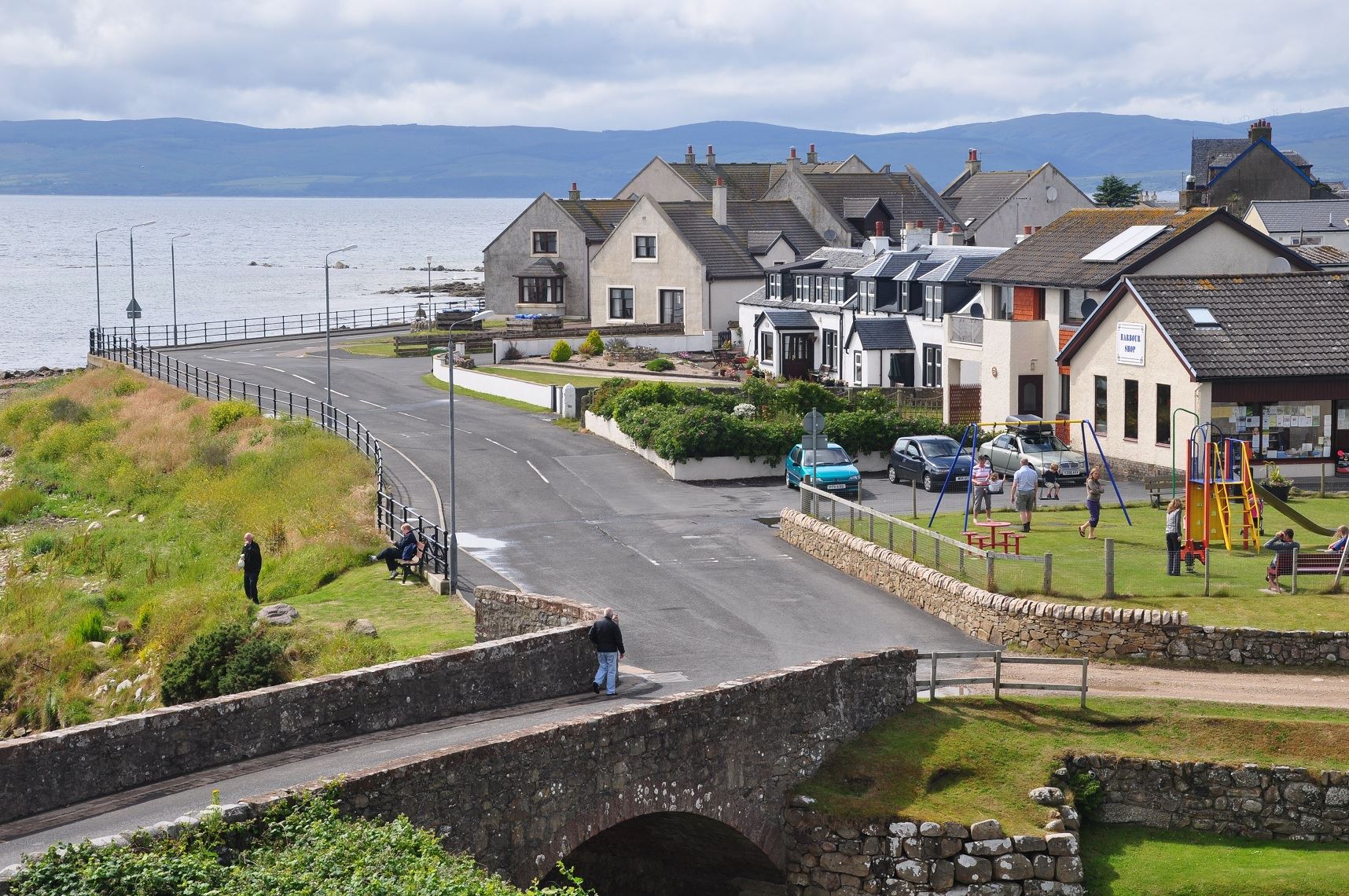 Drehidanookera Br.Bridge · 1.4 mi
 Cnoc a' DaimhMountain / peak · 2.3 mi
 Penitential station in Cnoc An DaimhPenitential station · 2.5 mi
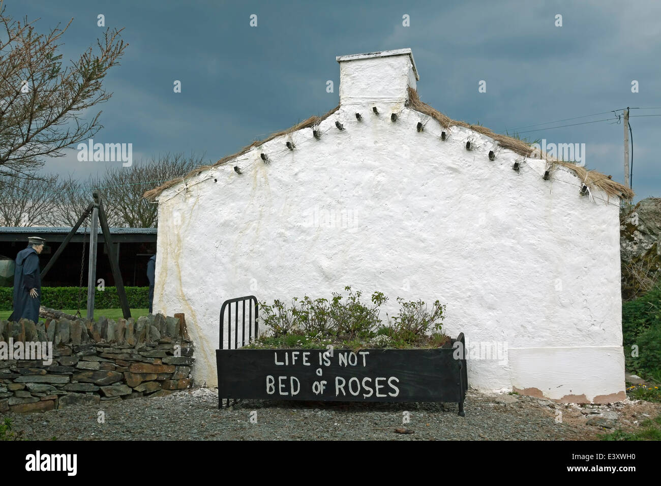 Famine VillageArchaeological place · 3.0 mi
 Enclosure in Doire Bhéal An MhámaEnclosure · 3.3 mi
 Screebe WaterfallWaterfall · 3.5 mi
 Teach an PhiarsaighHeritage attraction · 4.0 mi
 Oileán Ros an LochaIsland · 4.7 mi
 Cora an GhréasaíHeadland · 4.7 mi
 An tOileán BánIslet · 4.9 mi
 Fáinne ChamuisHeritage attraction · 5.2 mi