What is recorded here
Situated at the crest of a NW-facing slope, and inside the inner bank of rath (ME005-034----) at NE. A rectangular grass-covered area (int. dims 5.5m NW-SE; 4.1m NE-SW), obscured by furze, is defined by the rath bank at NE and elsewhere by stones or a low earthen bank and is. An entrance is not noted.
Compiled by: Michael Moore
Date of upload: 3 September 2018
The monument record does not grant public access. Check the route and ask the landowner before entering private land.
- What survives
- Recorded monument
Places near here
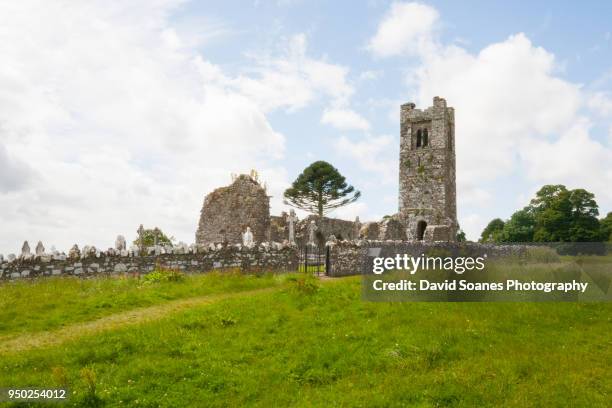 LisnaguinnellFairy fort / earthen ringfort · 15 yd
 LisatanvallyFairy fort / earthen ringfort · 248 yd
 GNR Christmas TreesForest · 1062 yd
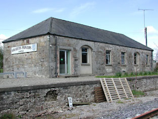 Kilmainham Wood Railway Stationstore/warehouse · 1090 yd
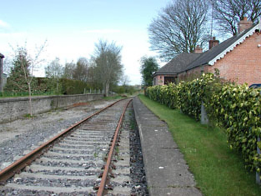 rails (section of)rails (section of) · 1094 yd
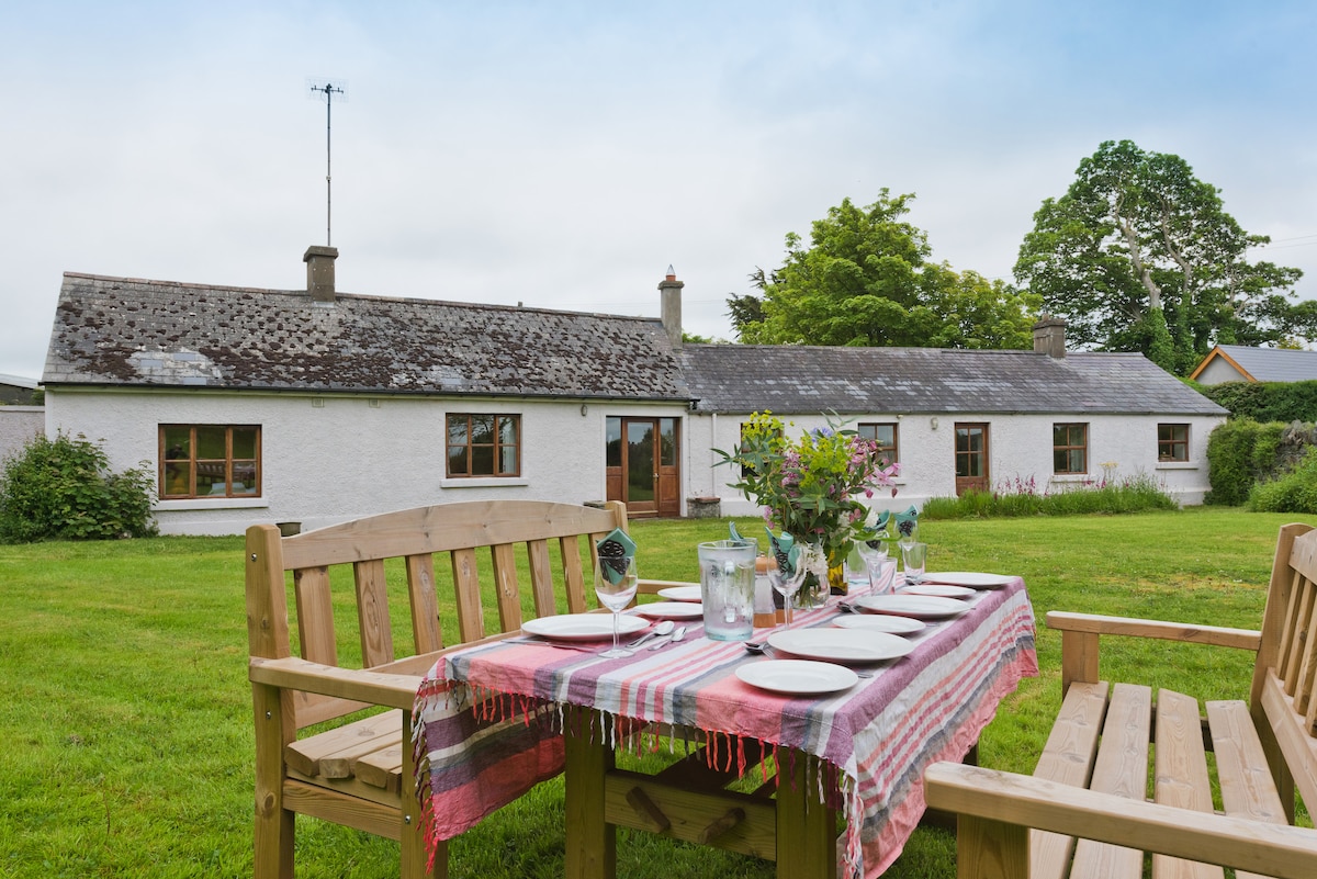 White WoodForest · 1719 yd
 Gallows HillMountain / peak · 1.8 mi
 MoatCastle, motte and bailey · 2.3 mi
 Nobber GreenwayMemorial · 2.5 mi
 Cloghreagh Castle in RuinsCastle, unclassified · 2.8 mi
 Ugly HillMountain / peak · 3.9 mi
 Owenroe and Moynalty DrainageMemorial · 4.6 mi