What is recorded here
Situated on top of a slight rise, in gently undulating pasture, with good views in all directions. Monument described in 1970 as in centre of ringfort (WM018-105----) there is a rectangular-shaped house site (dims. 8m N-S; 4.9m E-W) enclosed by a bank (basal Wth 1.7m; Wth at top 1m; int. H 0.7m; ext. H 0.8m) of earth and stone with the remains of internal stone facing. The entrance is not visible and may have been on the S side, which has been demolished by quarrying. Ringfort and house site have been levelled and the monument is not visible today on Digital Globe aerial photography.
See sketch plan of monument in SMR file which has been drawn by the ASI.
Compiled by: Alison McQueen, Vera Rahilly and Caimin O’Brien
Date of upload: 08 February 2019
The monument record does not grant public access. Check the route and ask the landowner before entering private land.
- What survives
- Recorded monument
Places near here
 Partially hachuredFairy fort / earthen ringfort · 1 yd
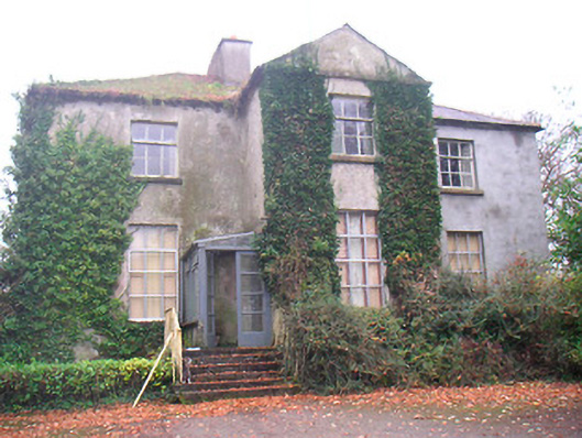 Rathconrath Houserectory/glebe/vicarage/curate's house · 394 yd
 Ecclesiastical enclosure in KillahughEcclesiastical enclosure · 720 yd
 Church (in Ruins)Church · 748 yd
 RathconrathCastle, motte · 972 yd
 CastleCastle, unclassified · 1034 yd
 Ancient Ring FortWood · 1635 yd
 Hill of UisneachMountain / peak · 2.8 mi
 European ashEuropean ash · 3.6 mi
 Carrickphilbin IslandIslet · 5.7 mi
 Abbeyshrule AbbeyRuins · 6.8 mi
 Guest ServicesVisitor information · 8.0 mi