What is recorded here
On wet boggy land close to the sea at the base of a ridge of rock outcrop. Known locally as the Lios or Fairy Fort (pers. comm. T. Robinson), this is a subcircular area (NE-SW 10m, NW-SE 9.5m) defined by a low moss-covered stone wall. Possible original entrance at SSE.
The above description is derived from the published 'Archaeological Inventory of County Galway Vol. I - West Galway'. Compiled by Paul Gosling (Dublin: Stationery Office, 1993).
Date of upload: 05 August 2010
The monument record does not grant public access. Check the route and ask the landowner before entering private land.
- What survives
- Recorded monument
Places near here
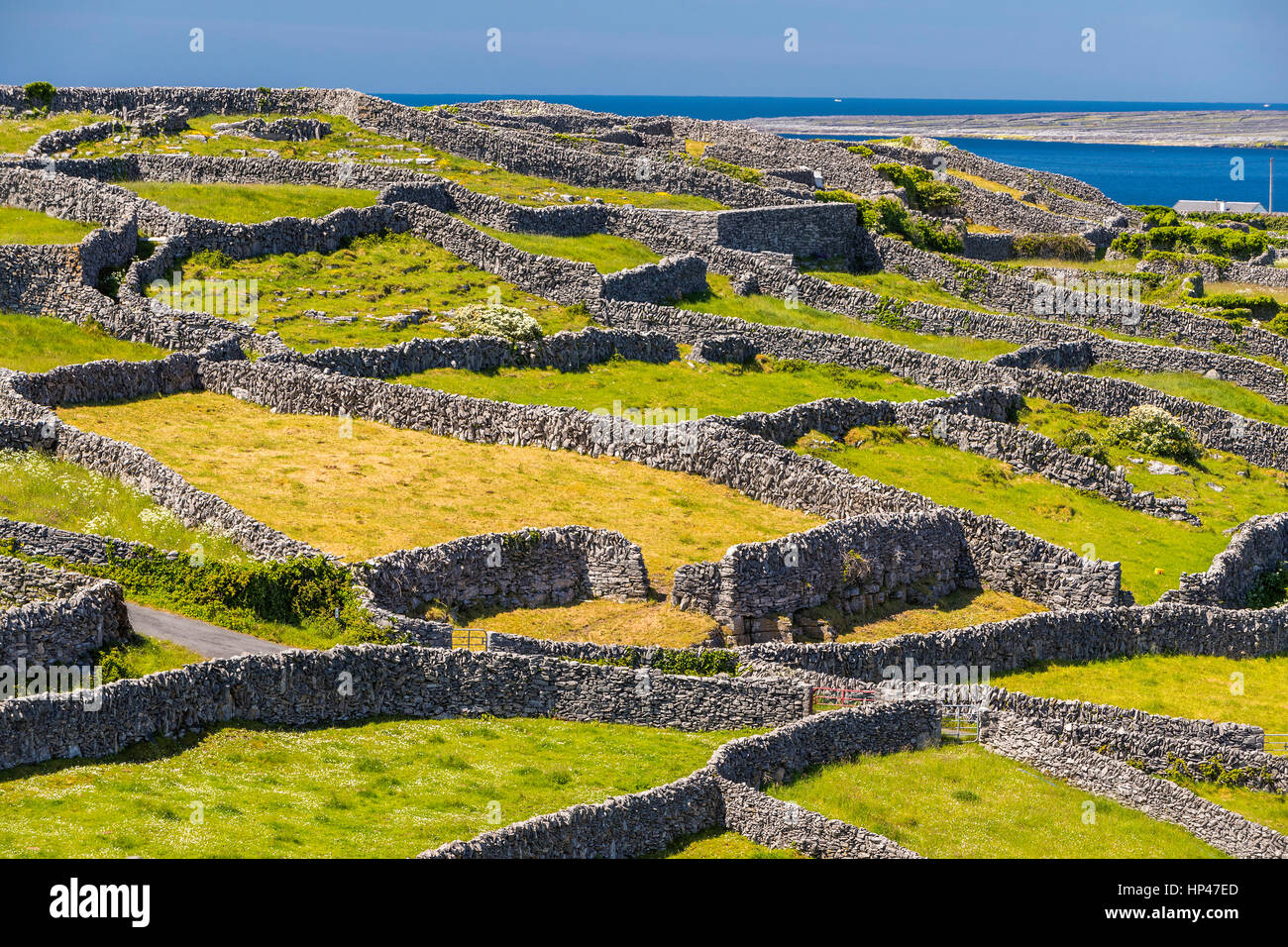 Inis TroigheIslet · 1397 yd
 Michael Killeen ParkRuins · 1.0 mi
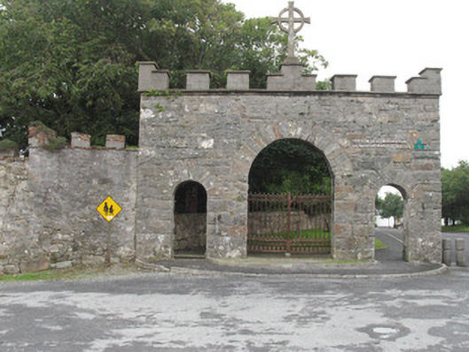 Roundstone Dominican Monasterygates/railings/walls · 1.0 mi
 Rosie McGurranGallery · 1.1 mi
 MonasteryEcclesiastical site · 1.2 mi
 Inis NíIsland · 1.2 mi
 Alexander NimmoMemorial · 1.3 mi
 Roundstone Bay & Island ToursHeritage attraction · 1.3 mi
 Enclosure in Inis NíEnclosure · 1.6 mi
 Trá na FeadóigeBeach / strand · 2.2 mi
 Iorras BeagMountain / peak · 2.4 mi
 Trá MhaíroisBeach / strand · 2.8 mi