What is recorded here
Situated in rough pasture on a ledge (Wth 60m) at the foot of a NW-facing cliff (H 7–8m) overlooking the Caher River and Fanore dunes, near the centre of a complex of enclosures, field walls and hut-sites (CL001-013001– to CL001-013006-), c. 15m to S of enclosure CL001-013001-. A rectangular structure (int. dims. 5.1m E–W; 2.7m N–S) defined by poorly preserved double-walling of large slabs facing a rubble core. An entranceway (Wth 0.7m) is located midway along the N wall and a possible N–S wall, extending from its W side, cuts off the W half of the interior which is filled with rubble.
Compiled by: Mary Tunney and Ros Ó Maoldúin
Date of upload: 21 September 2020
The monument record does not grant public access. Check the route and ask the landowner before entering private land.
- What survives
- Recorded monument
Places near here
 garda station/constabulary barracksgarda station/constabulary barracks · 223 yd
 Fanore Bridgebridge · 312 yd
 IndicatedFairy fort / stone ringfort · 366 yd
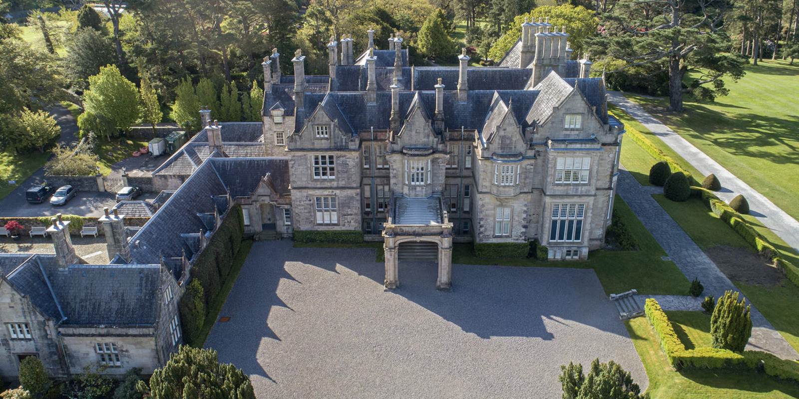 Enclosure in MurrooghkillyEnclosure · 859 yd
 Fanore BeachBeach / strand · 1174 yd
 Faunarooska Castle (in ruins)Castle, tower house · 2.1 mi
 Black HeadHeadland · 2.2 mi
 FaunarooskaCave · 2.6 mi
 Slieve ElvaMountain / peak · 2.7 mi
 PollbailinyCave · 2.8 mi
 Gleninagh CastleCastle · 3.0 mi
 CappanawallaMountain / peak · 3.1 mi