What is recorded here
Located a short distance to E of centre within interior of Carrownree enclosure (SL013-053001-) is a roughly rectangular area (dims. 8m E-W; 5m N-S) whose E side is defined by the bank of the enclosure and whose N and S sides are defined by a low, narrow bank (Wth 2.1m; H 0.6m). The W sided has been removed. The original entrance is not recognisable. The ground level of the interior is similar to that of the enclosure.
Compiled by: Mark Keegan
Date of upload: 19 January 2011
This remains an important historical record, but the official description says the monument is no longer visible or has been destroyed. The monument record does not grant public access. Check the route and ask the landowner before entering private land.
- What survives
- No visible remains or recorded as destroyed
Places near here
 Enclosure in ArdabroneEnclosure · 550 yd
 CaveMan-made underground passage · 633 yd
 CastleCastle, Anglo-Norman masonry castle · 653 yd
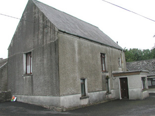 Stand Househouse · 841 yd
 Saint Adamnan's Catholic Churchchurch/chapel · 1109 yd
 Dunmoran StrandBeach / strand · 1.5 mi
 Bawn in CarrowbrickeenBawn · 1.6 mi
 Derkmore PointHeadland · 2.2 mi
 Aughris BeachBeach / strand · 2.4 mi
 Giant's GraveArchaeological place · 2.5 mi
 Valley WoodForest · 2.9 mi
 Lahanacappul IslandIslet · 2.9 mi