What is recorded here
Within the N sector of the interior of a rath (GA122-026----). The possible house site (L 5m; Wth 4.5m) is almost square in plan and is defined by a low grassed-over stony bank which abuts the inner face of the bank. A couple of stones protruding through the sod cover within it suggest an internal division. Another house (GA122-026001-) is evident in the W sector.
Compiled by: Galway Archaeological Survey, UCG
Date of upload: 12 January 2017
The monument record does not grant public access. Check the route and ask the landowner before entering private land.
- What survives
- Recorded monument
Places near here
 Enclosure in CaherglassaunEnclosure · 246 yd
 Mine in CaherglassaunMine · 714 yd
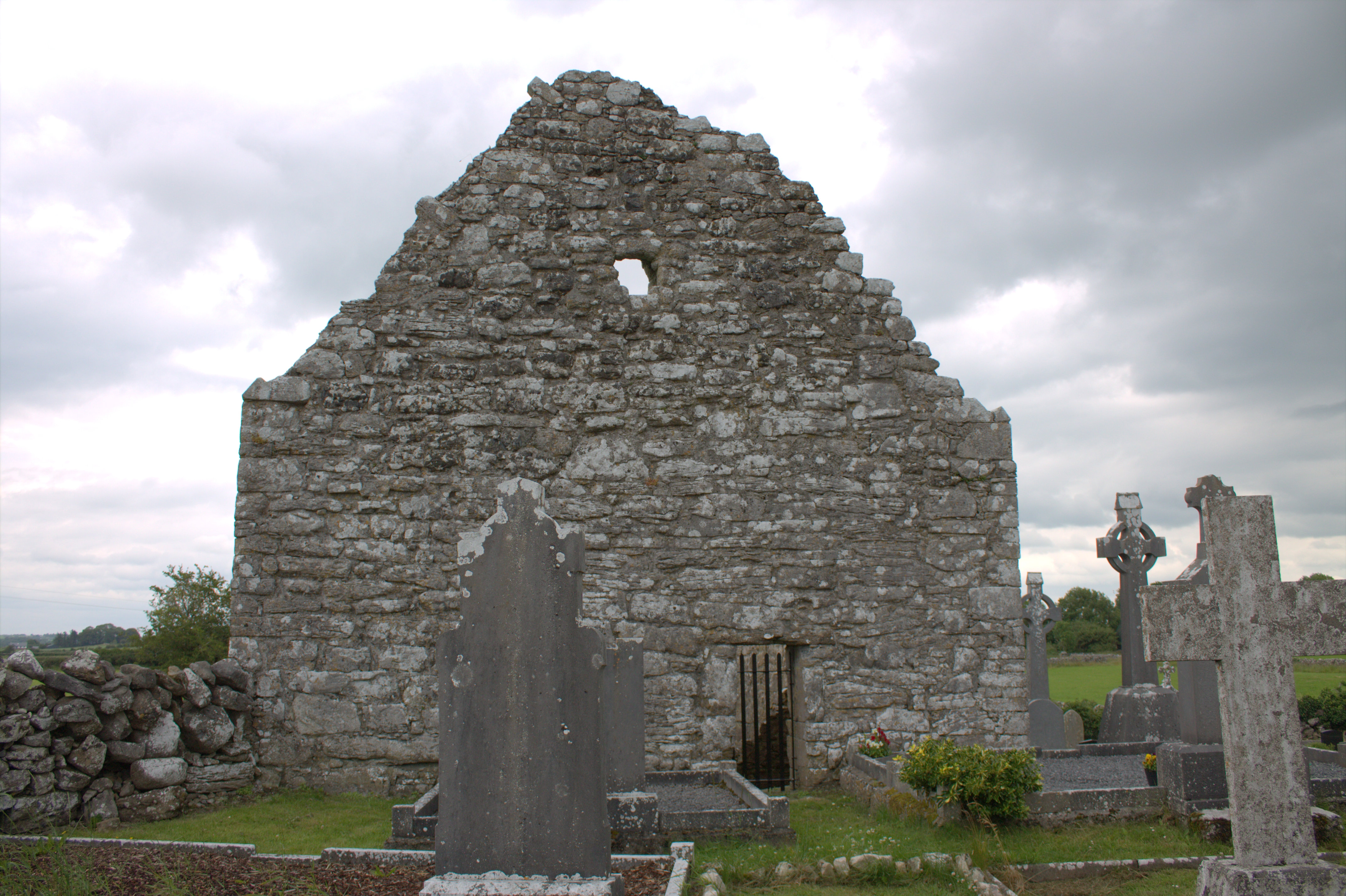 Killomoran Church (in ruins)Church · 890 yd
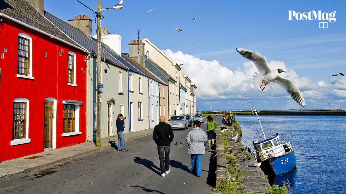 Nastaig FortFairy fort / earthen ringfort · 1064 yd
 Castle in ruinsCastle, unclassified · 1.4 mi
 Coole-Garryland Nature ReserveNature reserve · 1.6 mi
 European BeechEuropean Beech · 1.9 mi
 Cahererillan CastleCastle · 2.5 mi
 Drumharsna CastleHeritage attraction · 2.9 mi
 Kilmacduagh Monastic SiteVisitor information · 4.0 mi
 Kilmacduagh MonasteryHeritage attraction · 4.1 mi
 Mulroney's IslandIslet · 4.3 mi