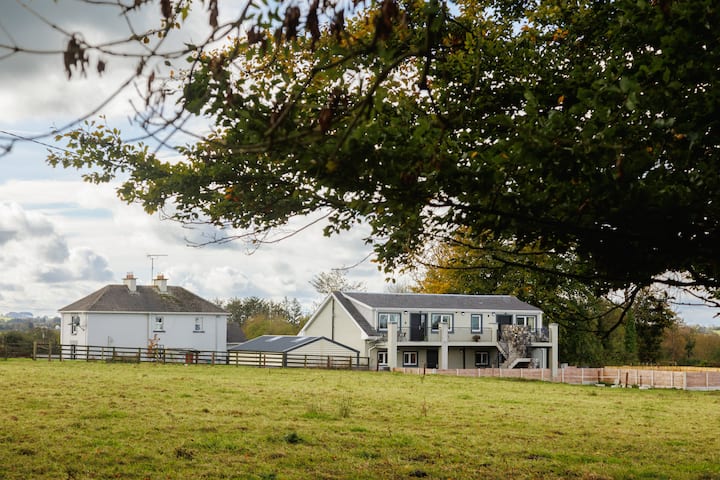
What is recorded here
Situated on a natural hillock, in good pasture. In centre of ringfort (WM018-060----) are the remains of two rectangular-shaped house sites defined by earth and stone banks. The southern-most house site (dims. 12m N-S; 8m E-W) is slightly larger, whilst the second house site (dims. 11m E-W; 8m N-S) is situated perpendicular and is slightly smaller. These are described in 1977 as forming part of a ‘large stone built complex of houses which are linked together and running NW-SE which suggests there were more than two. There are indications of internal divisions within some of the house sites. House sites are clearly visible on Digital Globe aerial photography. Cultivation ridges running roughly E-S are clearly visible in field immediately to S and W.
Compiled by: Alison McQueen, Vera Rahilly and Caimin O’Brien
Date of upload: 04 February 2019
The monument record does not grant public access. Check the route and ask the landowner before entering private land.
- What survives
- Recorded monument
Places near here
 St. Patricks WellHoly well · 556 yd
 Enclosure in Kilpatrick (rathconrath By.)Enclosure · 636 yd
 Glascarn Househouse · 935 yd
 Site of CastleCastle, unclassified · 936 yd
 Simonstown Castle (in Ruins)Castle, unclassified · 1092 yd
 P. Gunninghouse · 1536 yd
 Ancient Ring FortWood · 1.3 mi
 WestmeathVisitor information · 1.4 mi
 Hill of UisneachMountain / peak · 4.1 mi
 Baronstown ForestWood · 4.5 mi
 Carrickphilbin IslandIslet · 4.5 mi
 Srudarra IslandIslet · 5.0 mi
Other information
Photo: Credit not shown in the picture search · Rights wording not checked; contact us if this picture should be removed