What is recorded here
A rectangular house site is depicted outside the walls of a cashel (CL001-012----) on the 1840 OS 6-inch map and is shown as enclosed by an annexe to the cashel on the 25-inch map. Listed as 'hut site' in the RMP (1996).
Revised by: Mary Tunney
Date of revision: 14 September 2020
The monument record does not grant public access. Check the route and ask the landowner before entering private land.
- What survives
- Recorded monument
Places near here
 IndicatedFairy fort / stone ringfort · 1 yd
 garda station/constabulary barracksgarda station/constabulary barracks · 492 yd
 Fanore Bridgebridge · 510 yd
 Fanore BeachVisitor information · 865 yd
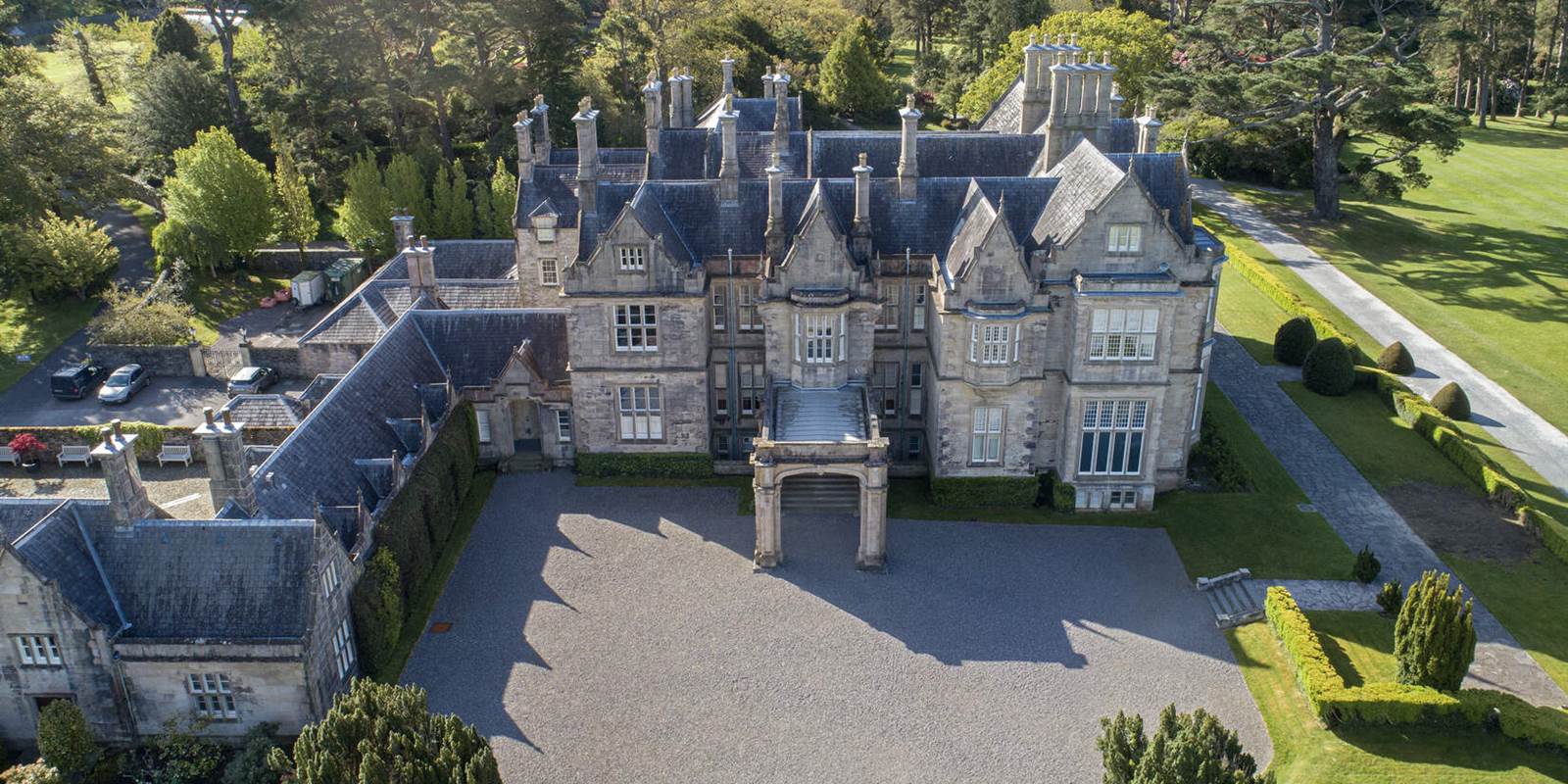 Enclosure in MurrooghkillyEnclosure · 1184 yd
 Faunarooska Castle (in ruins)Castle, tower house · 2.0 mi
 Black HeadHeadland · 2.4 mi
 FaunarooskaCave · 2.4 mi
 Slieve ElvaMountain / peak · 2.5 mi
 PollbailinyCave · 2.6 mi
 Gleninagh CastleCastle · 3.2 mi
 CappanawallaMountain / peak · 3.2 mi