What is recorded here
Upper Kevin Street Watch House
Annotated ‘W.H’ on Rocque's 1756 map of the Dublin City, where it is shown as a circular structure at the southern end of Patrick Street at the cross-roads between the Poddle and Upper Kevin Street (Rocque 1756).
Compiled by: Caimin O'Brien
Date of Compilation: 13 November 2025
The monument record does not grant public access. Check the route and ask the landowner before entering private land.
- What survives
- Recorded monument
Places near here
 Cross in Unknown TownlandCross · 29 yd
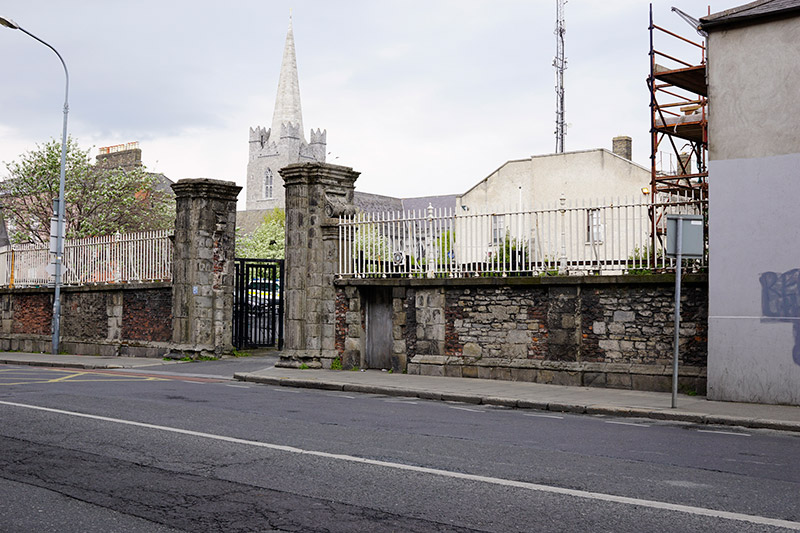 Kevin Street Garda Station\Marsh's Librarygates/railings/walls · 57 yd
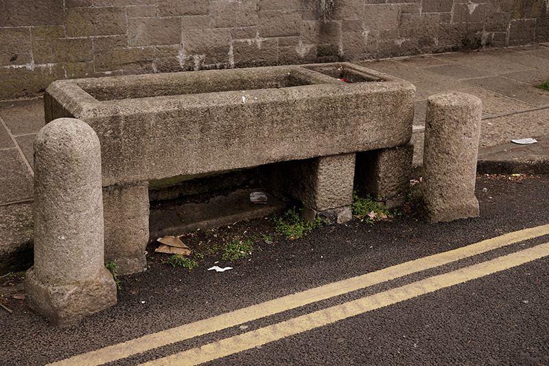 water troughwater trough · 94 yd
 Library in Unknown TownlandLibrary · 143 yd
 Graveyard in Unknown TownlandGraveyard · 149 yd
 'French Peters' ChurchMemorial · 160 yd
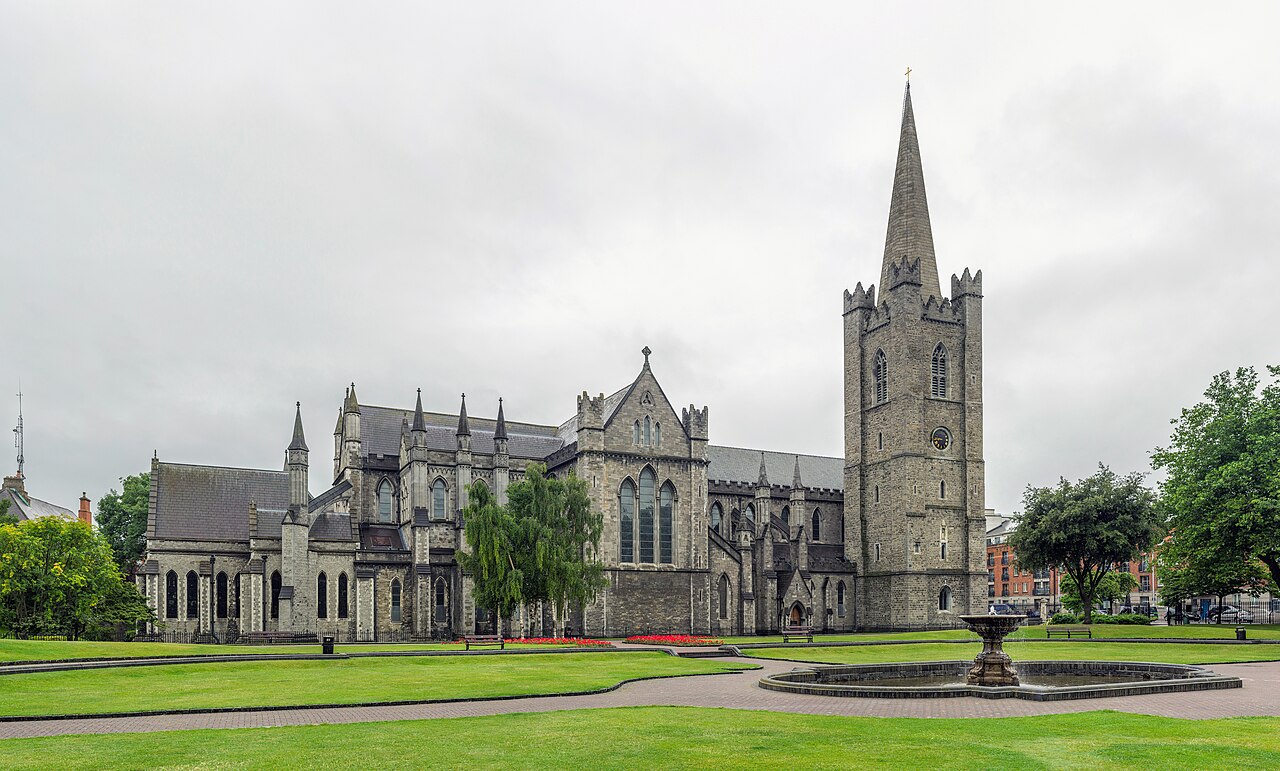 Saint Patrick's CathedralHeritage attraction · 219 yd
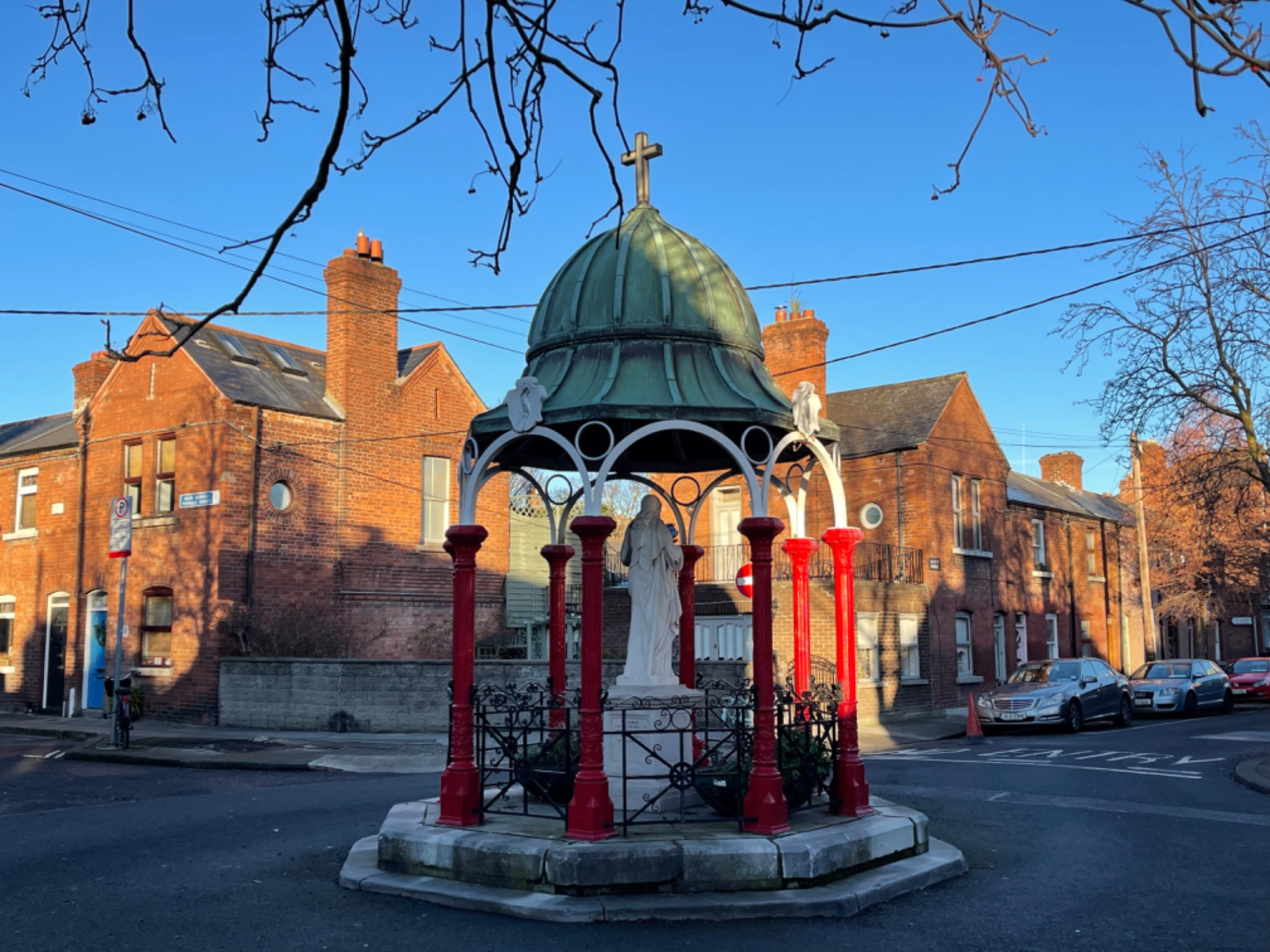 Pallas StudiosGallery · 384 yd
 CastleCastle, Anglo-Norman masonry castle · 613 yd
 Newcomen BankVisitor information · 706 yd
 Medieval DublinVisitor information · 729 yd
 Bigleaf MapleBigleaf Maple · 1173 yd