What is recorded here
In the W half of Srananagh rath (SL027-038001-), opposite the entrance. A grass-covered roughly triangular raised area (10m N-S; 8.5m E-W; H 0.2-0.4m) defined by large stones with an indentation (L 4m) at the E side of the N end.
Compiled by: Archaeological Survey Unit, UCC with revisions by Patrick F. O'Donovan and Paul Walsh
Date of upload: 20 June 2011
The monument record does not grant public access. Check the route and ask the landowner before entering private land.
- What survives
- Recorded monument
Places near here
 Indicated (1838).Fairy fort / earthen ringfort · 270 yd
 Hut site in ArdleebegHut site · 278 yd
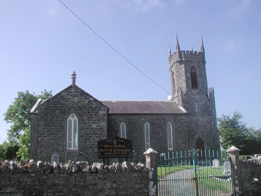 Ballysumaghan Churchchurch/chapel · 689 yd
 Castle Neymoecountry house · 1164 yd
 Giants GraveArchaeological place · 1.5 mi
 Coola Castle (in Ruins)Bawn · 1.6 mi
 CastleCastle, motte · 1.7 mi
 Field MapleField Maple · 2.3 mi
 Riverstown Folk ParkHeritage attraction · 2.9 mi
 European ashEuropean ash · 2.9 mi
 James MorrisonMemorial · 3.1 mi
 Battle of Collooneybattle · 4.0 mi