What is recorded here
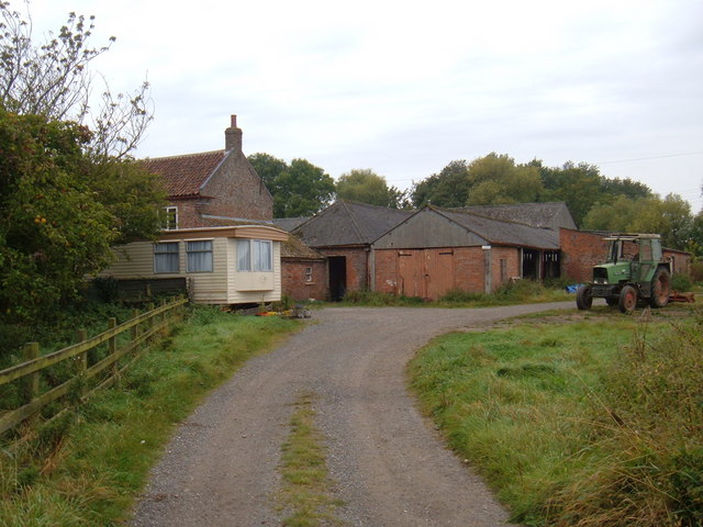
Shown as 'Corn mill (in ruins)' on 1842 OS 6-inch map on N bank of River Bride with Tuck Mill (in ruins) c. 150m to E; the latter not shown on later maps. According to owner, corn mill rebuilt by Howards in 1870; shown as 'Hornhill Corn Mill' on 1902 OS 6-inch map. Rectangular stone-built structure (15.2m E-W; 8m N-S) of late 19th century appearence; brick-arched window opes. Low modern addition at E end of N elevation, replacing an earlier addition. Wheel-pit (Wth c. 2m; D c. 3m) along W gable, housed high breastshot/overshot waterwheel. Pit for pit-wheel along internal wall. According to owner abandoned in 1910; no machinery or gearing survives, now used as farmbuilding. Hornhill bridge (CO083-091001-) to W.
The above description is derived from the published 'Archaeological Inventory of County Cork. Volume 3: Mid Cork' (Dublin: Stationery Office, 1997). In certain instances the entries have been revised and updated in the light of recent research.
Date of upload/revision: 14 January 2009
The monument record does not grant public access. Check the route and ask the landowner before entering private land.
- What survives
- Recorded monument
Places near here
 Hornhill Millmill (water) · 3 yd
 Hornhill BrBridge · 45 yd
 Knockaneirk Stone CircleArchaeological place · 1472 yd
 Green HillMountain / peak · 1.3 mi
 Fulacht FianFulacht fia · 1.5 mi
 Michael Collins MemorialMemorial · 1.6 mi
 Kilmurry WoodsPicnic place · 1.9 mi
 Independence MuseumMuseum · 1.9 mi
 Priest MemorialMemorial · 2.1 mi
 Summerhouse WoodForest · 2.4 mi
 Andrew's WoodWood · 2.6 mi
 Clodah CastleCastle · 2.8 mi