What is recorded here
The official Northern Ireland record identifies this as HORIZONTAL MILL (unlocated). Recorded period: E.CHRIST.. The official map point was placed at the centre of the recorded archaeological site from the source map reference.
The monument record does not grant public access. Check the route and ask the landowner before entering private land.
- What survives
- Recorded monument
Places near here
 St.Peter's CathedralChurch · 298 yd
_-_geograph.org.uk_-_3692549.jpg?width=1280) St Michael's Church of IrelandChurch · 466 yd
St Michael's Church of IrelandChurch · 466 yd Royal AvenueVisitor information · 807 yd
 Linen Hall LibraryLibrary · 904 yd
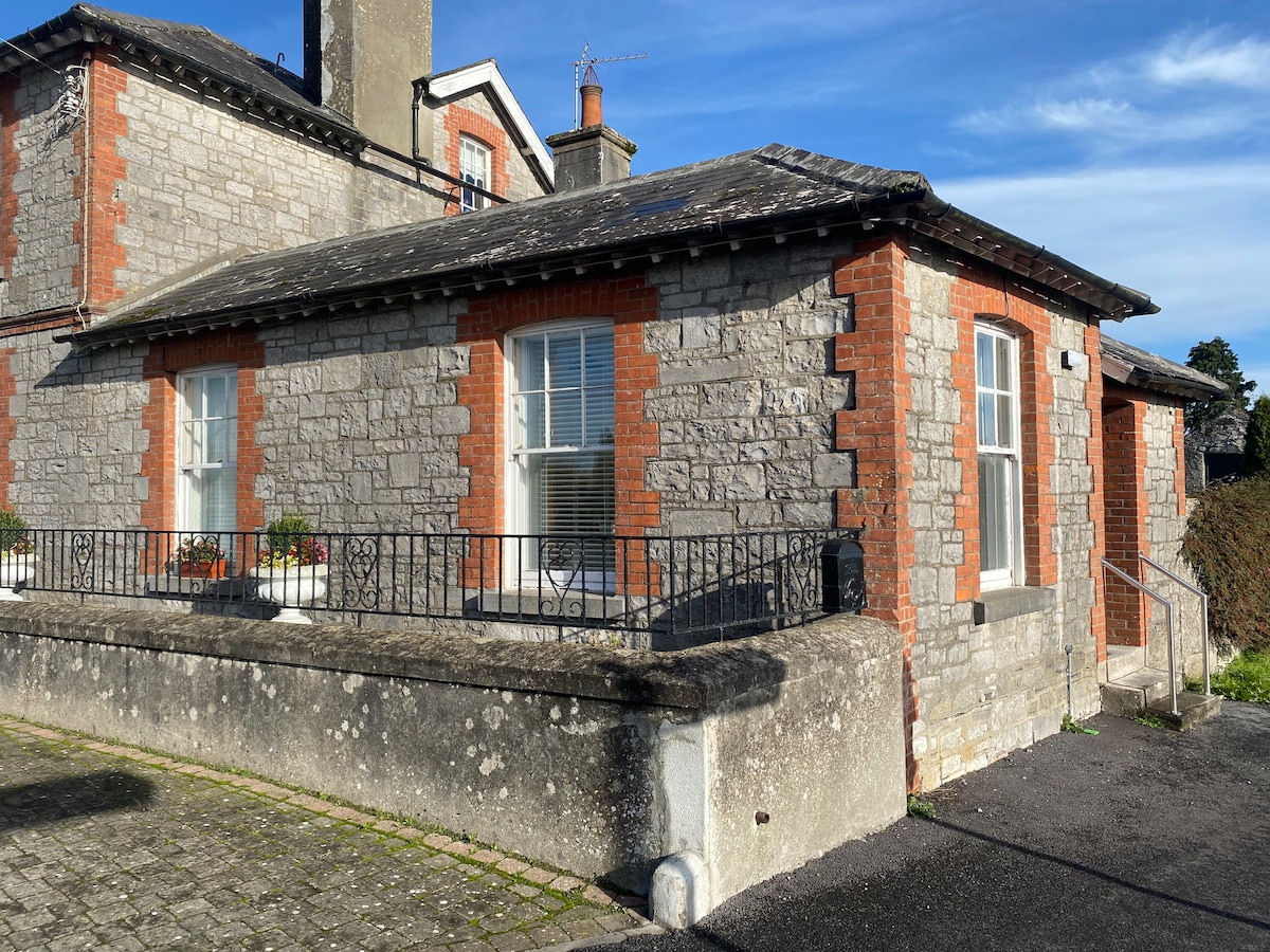 ENCLOSURE in EdenderryENCLOSURE · 945 yd
 The Crown BarVisitor information · 989 yd
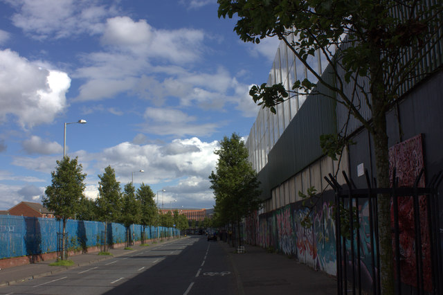 Peace WallHeritage attraction · 993 yd
 Lord Dufferin MonumentMonument · 1003 yd
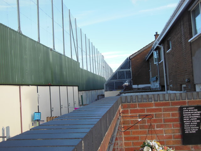 Clonard Martyrs MemorialMemorial · 1053 yd
 McGurk's Bar bombingbomb attack · 1144 yd
_-_geograph.org.uk_-_1417290.jpg?width=1280) 12 College Square NorthHouse · 592 yd
12 College Square NorthHouse · 592 yd_-_geograph.org.uk_-_1407743.jpg?width=1280) 10 College Square NorthHouse · 606 yd
10 College Square NorthHouse · 606 yd