What is recorded here
Toberdoney, the Lord's Well, has lost its visible cup but keeps its name in Cushendall. The absence does not diminish the claim. A hidden well may still give water, remember prayer, or wait for someone willing to listen. What is missing is not the truth but the chance to point at it.
The official Northern Ireland record identifies this as HOLY WELL: TOBERDONEY or THE LORD'S WELL (unlocated). Recorded period: UNCERTAIN. The official map point was placed at the centre of the recorded archaeological site from the source map reference.
Linked to Saint Doney, the well is traditionally associated with healing and pilgrimage, with "Toberdoney" deriving from the Irish "Tobar Dónaí" meaning "Well of Doney." Local tradition suggests that the saint was a 7th-century hermit who lived in the area, and the well was once a site of seasonal devotions and water rituals.
The monument record does not grant public access. Check the route and ask the landowner before entering private land.
- What survives
- Recorded monument
Places near here
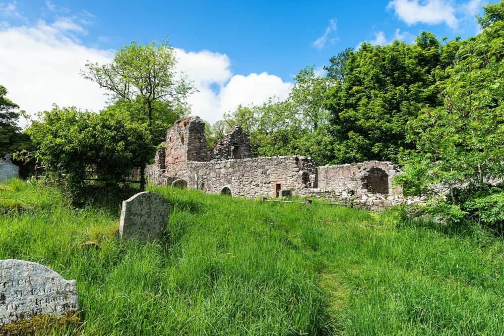 CHURCH in CushendallCHURCH · 219 yd
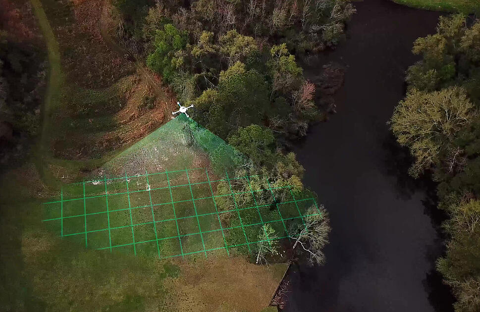 LiDAR site- Circular enclosure in CushendallLiDAR site- Circular enclosure · 582 yd
 Sundial HouseHouse · 778 yd
 The Glens of AntrimViewpoint · 857 yd
 GRAVEYARD; ENCLOSURE: KILVERAGHA OLD GRAVEYARD or KILNAVAL in CloghsGRAVEYARD; ENCLOSURE: KILVERAGHA OLD GRAVEYARD or KILNAVAL · 935 yd
 HOUSE: OLD CASTLE in LaydHOUSE: OLD CASTLE · 1.2 mi
 Red Bay CastleArchaeological place · 1.4 mi
 LurigethanMountain / peak · 1.5 mi
 TievebulliaghMountain / peak · 2.4 mi
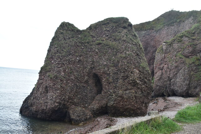 Caves of CushendunHeritage attraction · 3.1 mi
 The White LadyNamed rock · 4.4 mi
 Ess-Na-Crub WaterfallWaterfall · 4.7 mi