What is recorded here
Toobarcooran hides inside Carnmoney Glebe, marked only as a holy well on official lists. No date or owner is attached to the point, yet water has always flowed through red clay and moss. People may have knelt there before roads existed, asking the earth for mercy or dumping what they feared to keep. The well does not need a name repeated to be real.
The official Northern Ireland record identifies this as HOLY WELL: TOBARCOORAN. Recorded period: UNCERTAIN. The official map point was placed at the centre of the recorded archaeological site from the source map reference.
Linked to Saint Cooran, the well is traditionally associated with cures for skin ailments and general healing. Local folklore suggests that the name derives from the Irish "Tobar Cooran," meaning "Well of Cooran," and the site may have pre-Christian ritual significance, later Christianized.
The monument record does not grant public access. Check the route and ask the landowner before entering private land.
- What survives
- Recorded monument
Places near here
 Carnmoney HillMountain / peak · 1242 yd
 Bellevue Area of Special Scientific InterestCliff · 1.0 mi
 CHURCH? in BallywonardCHURCH? · 1.1 mi
 Man-made underground passage & STONE ENCLOSURE in CroghfernMan-made underground passage & STONE ENCLOSURE · 1.1 mi
 ENCLOSURE (O.S. memoir site, unlocated) in JordanstownENCLOSURE (O.S. memoir site, unlocated) · 1.1 mi
 Sentry Hill Historic HouseMuseum · 1.5 mi
 CASTLE (unlocated) in BallyvastonCASTLE (unlocated) · 1.5 mi
 Cave Hill CaveCave · 1.7 mi
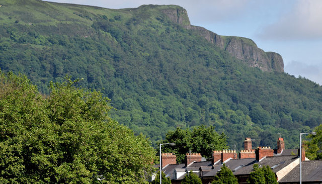 Cave HillCliff · 1.7 mi
 CavehillMountain / peak · 1.8 mi
 FORTIFIED HOUSE & EARTHWORK DEFENCES (unlocated) in Grange OF MalluskFORTIFIED HOUSE & EARTHWORK DEFENCES (unlocated) · 2.0 mi
 Cave Hill TrailWalking route · 2.0 mi