What is recorded here
No clean water flows anywhere near Magheracashel. You must go to the well at the edge of town, fill a bottle, and carry it home. The well is not a display. It is a distance you must be willing to walk.
The official Northern Ireland record identifies this as HOLY WELL. Recorded period: UNCERTAIN. The official map point was placed at the centre of the recorded archaeological site from the source map reference.
Linked to Saint Fachanan, this holy well is traditionally associated with cures for skin ailments and general healing. Pilgrimages and offerings, such as coins and ribbons, continue to be made at the site, reflecting longstanding local folklore and devotion.
The monument record does not grant public access. Check the route and ask the landowner before entering private land.
- What survives
- Recorded monument
Places near here
 A.P. SITE: possible enclosure in LagavaraA.P. SITE: possible enclosure · 558 yd
 A.P. SITE: ENCLOSURES (2) in CraiganeeA.P. SITE: ENCLOSURES (2) · 1521 yd
 Fullerton ArmsPublic House · 1.7 mi
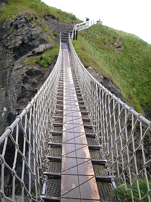 Carrick-a-rede Rope BridgeHeritage attraction · 2.0 mi
 Carrickarede IslandIslet · 2.0 mi
 White Park BayBeach / strand · 2.5 mi
 Sheep IslandIslet · 2.5 mi
 Ramoan Presbyterian ChurchChurch · 2.5 mi
 Kinbane CastleCastle · 2.6 mi
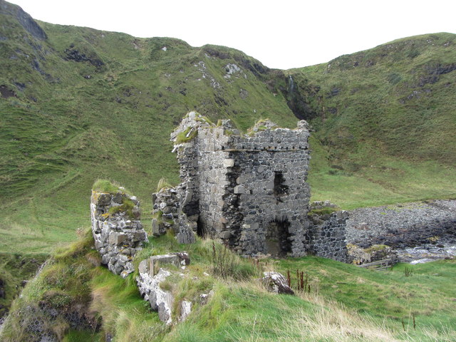 KINBANE CASTLE in CregganboyKINBANE CASTLE · 2.6 mi
 Kilmoyle WoodForest · 3.4 mi
 Dunseverick FallsWaterfall · 3.9 mi