
What is recorded here
Drumcrow East holds a holy well whose age and exact purpose remain uncertain. The official record points to a small archaeological site in County Fermanagh, but it offers no date, owner, event or visible structure. That emptiness belongs to the place. A well may have given water, marked prayer or simply endured while human memory thinned. The earth kept the shape long after the names faded.
The official Northern Ireland record identifies this as HOLY WELL. Recorded period: UNCERTAIN. The official map point was placed at the centre of the recorded archaeological site from the source map reference.
Linked to an unidentified saint, the holy well at Drumcrow East is traditionally associated with healing rituals, particularly for ailments of the eyes and skin. Little folklore survives, but such wells were often sites of pilgrimage and seasonal offerings in pre-modern times.
The monument record does not grant public access. Check the route and ask the landowner before entering private land.
- What survives
- Recorded monument
Places near here
 ENCLOSURE in Drumcrow EastENCLOSURE · 635 yd
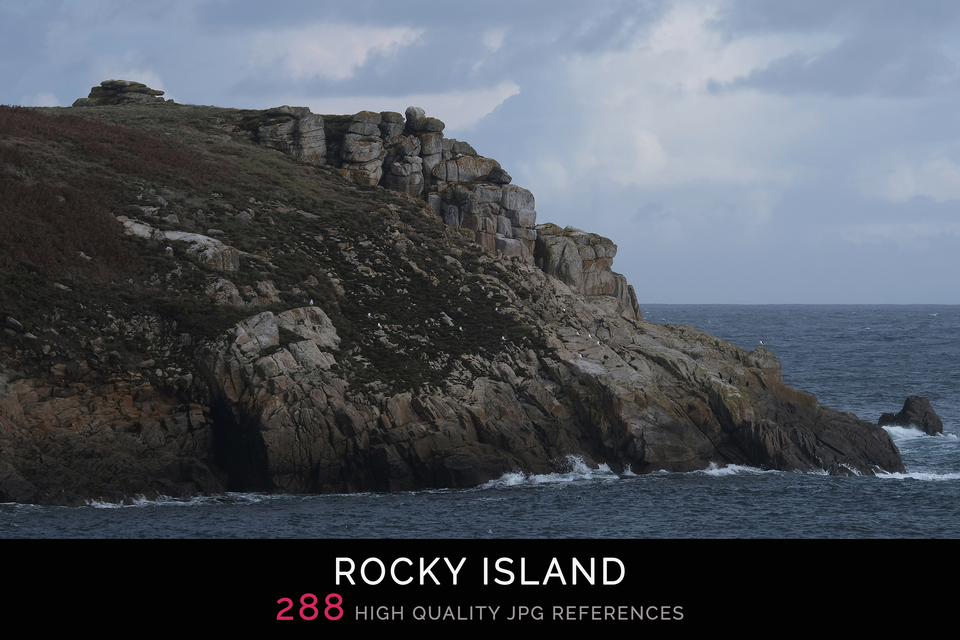 Rocky IslandIslet · 982 yd
 Bess IslandIsland · 1478 yd
 Tully CastleCastle · 1.2 mi
 CASTLE, BAWN & VILLAGE SITE: TULLY CASTLE in TullyCASTLE, BAWN & VILLAGE SITE: TULLY CASTLE · 1.2 mi
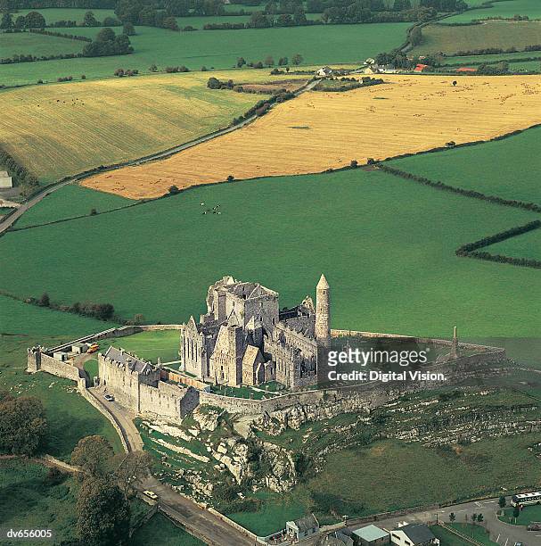 ENCLOSURE in CashelENCLOSURE · 1.4 mi
 Inishmacsaint Church and Cross in InishmacsaintInishmacsaint Church and Cross · 1.9 mi
 Innishmacsaint Abbey (ruins)Ruins · 1.9 mi
 Tullycarbry ForestForest · 2.9 mi
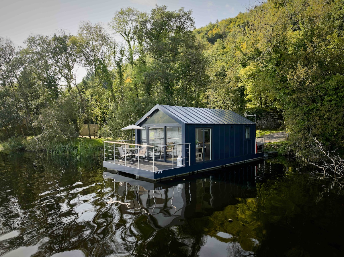 Carrickreagh WoodWood · 3.3 mi
 Monea CastleHeritage attraction · 3.9 mi
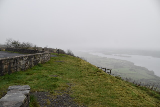 Cliffs of MaghoViewpoint · 4.9 mi
Other information
Photo: Credit not shown in the picture search · Rights wording not checked; contact us if this picture should be removed