
What is recorded here
Ros Dúgáin Point holds Tobar Cholmcille at its eastern tip, a smooth bowl carved by water and ringed with dry stones on the west side. The well sits at the high-water mark, where the sea reaches but does not drown it. Local people have long treated the small pothole as a ritual place, perhaps dropping coins or praying beside it when the tide pulled back.
At HWM at easternmost tip of Ros Dúgáin Point. Known locally as Tobar Cholmcille, it consists of a natural, smooth, bowl-shaped pothole (D 0.25m) with a low semicircular drystone surround on W. (Robinson 1985, 56-7)
The above description is derived from the published 'Archaeological Inventory of County Galway Vol. I - West Galway'. Compiled by Paul Gosling (Dublin: Stationery Office, 1993).
Date of upload: 05 August 2010
Linked to St. Columba (Colmcille), the well is associated with early Christian pilgrimage and is named in honour of the 6th-century saint renowned for his role in spreading Christianity in Scotland and Ireland. Local tradition may have once attached healing properties to the water, though specific cures or rituals are not recorded.
The monument record does not grant public access. Check the route and ask the landowner before entering private land.
- What survives
- Recorded monument
Places near here
 Ros DúgáinHeadland · 391 yd
 Ros CamHeadland · 866 yd
 Corn MillMill, corn · 1368 yd
 CionlaíIsland · 1736 yd
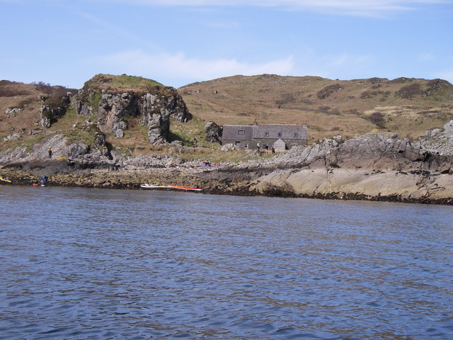 An tOileán GarbhIslet · 1.1 mi
 Cill Chiaráin [Saint Ciaran's Catholic Church]church/chapel · 1.1 mi
 ToberkieranHoly well · 1.5 mi
 Holy well in Cill ChiaráinHoly well · 1.9 mi
 An tOileán Iartharach ThiarMountain / peak · 1.9 mi
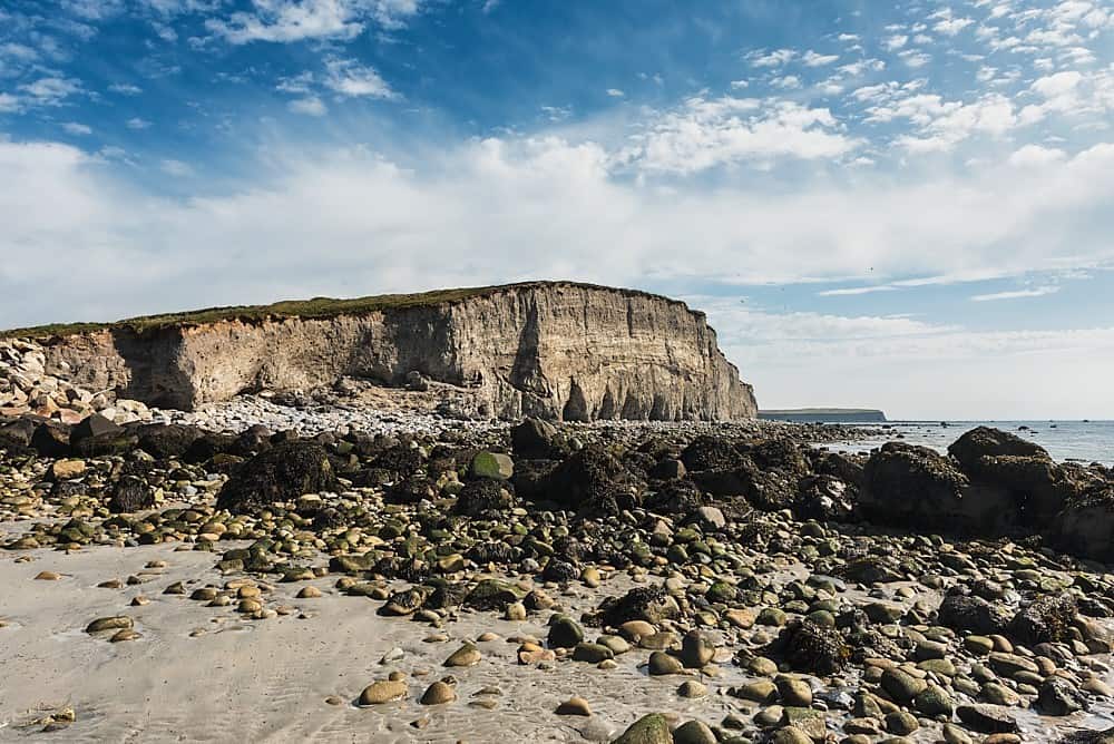 Trá na hAille MóireBeach / strand · 2.0 mi
 Cnoc MordáinMountain / peak · 3.1 mi
 Knockboy ForestryForest · 5.0 mi
Other information
Photo: Credit not shown in the picture search · Rights wording not checked; contact us if this picture should be removed