What is recorded here
Fortwilliam holds a holy well beneath County Antrim, waiting for clean water and human memory to return. Its exact age remains uncertain, but the name suggests an old belief that clean water could touch divine life. A person may have knelt at that place, drinking or washing before roadworks and forgetting removed the marker.
The official Northern Ireland record identifies this as HOLY WELL: FORTWILLIAM. Recorded period: UNCERTAIN. The official map point was placed at the centre of the recorded archaeological site from the source map reference.
Linked to Saint William, the holy well at FortWilliam was traditionally associated with healing and protection, with pilgrims visiting to seek cures for ailments and to draw water for blessings. The site reflects a broader Celtic Christian tradition of holy wells as places of spiritual and physical healing, often connected to local saints and seasonal rituals.
The monument record does not grant public access. Check the route and ask the landowner before entering private land.
- What survives
- Recorded monument
Places near here
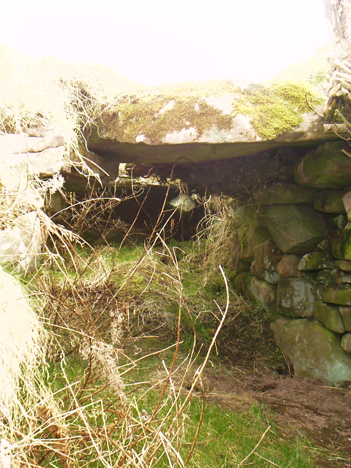 Man-made underground passage & ENCLOSURE in SkegoneillMan-made underground passage & ENCLOSURE · 586 yd
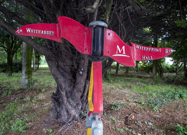 Millennium MilepostVisitor information · 1077 yd
 RECTANGULAR ENCLOSURE: BALLYAGHAGAN FORT, LISTOLLARD in BallyaghaganRECTANGULAR ENCLOSURE: BALLYAGHAGAN FORT, LISTOLLARD · 1336 yd
_-_geograph.org.uk_-_2390151.jpg?width=1280) Jennymount MillMill · 1590 yd
Jennymount MillMill · 1590 yd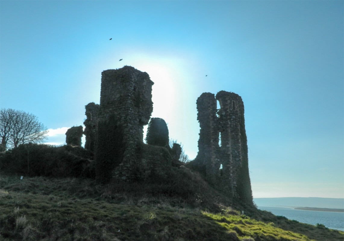 TOWER-HOUSE: GREENCASTLE, GREENCASTLE, CLOUGHCASTELLA, CLOUGHCASTELLA, CLOCHMESTALE in GreencastleTOWER-HOUSE: GREENCASTLE, GREENCASTLE, CLOUGHCASTELLA, CLOUGHCASTELLA, CLOCHMESTALE · 1745 yd
 Belfast CastleHeritage attraction · 1.2 mi
 Belfast Castle Estate TrailWalking route · 1.2 mi
 Thompson Dock Pump HouseMuseum · 1.4 mi
 McGurk's Bar bombingbomb attack · 1.5 mi
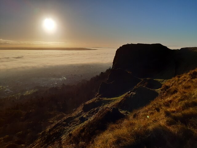 McArt's FortMountain / peak · 1.5 mi
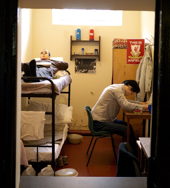 Crumlin Road Gaol Visitors CentreVisitor information · 1.6 mi
 Limestone QuarryCliff · 1.6 mi