What is recorded here
On a slight rise in pastureland; it stood within a graveyard which is shown on 3rd ed. of OS 6-inch map (1931) as roughly oval in plan (c. 60m by c. 40m) but is since much extended. The visible remains are those of a very poorly preserved Protestant church (E-W; L 15.7m, Wth 5.8m), only the foundations of which survive. There was a doorway in W gable and possible traces of transept at E end. According to Claffey (1983, 158), this church 'was built here on an earlier church site in the late eighteenth century'. No visible surface trace of it survives. A hall-house (GA045-029001-) stands 110m to WNW.
The above description is derived from the published 'Archaeological Inventory of County Galway Vol. II - North Galway'. Compiled by Olive Alcock, Kathy de hÓra and Paul Gosling (Dublin: Stationery Office, 1999).
Date of upload: 05 August 2010
The monument record does not grant public access. Check the route and ask the landowner before entering private land.
- What survives
- Recorded monument
Places near here
 Holy Trinity ChurchChurch · 1 yd
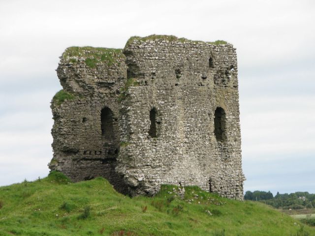 Moylough CastleCastle · 140 yd
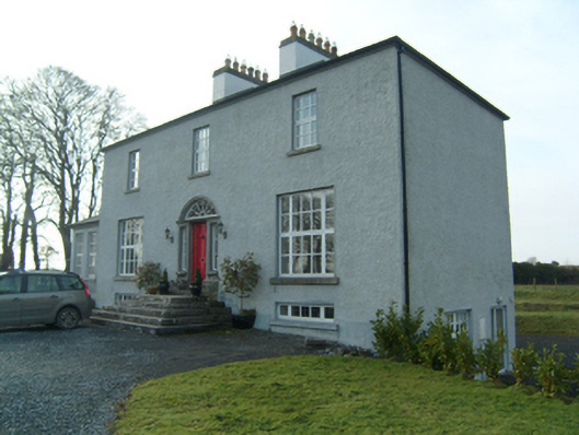 Summervillerectory/glebe/vicarage/curate's house · 173 yd
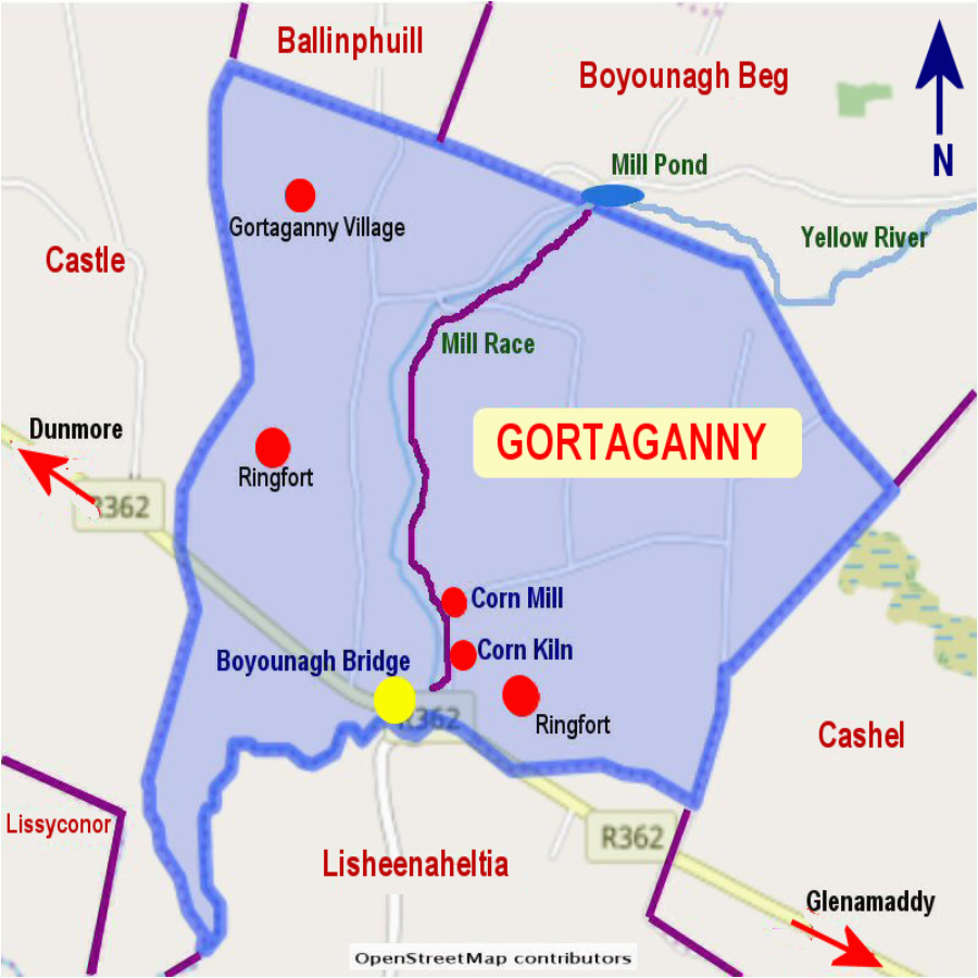 Enclosure in Gortaganny (coolcoo Ed)Enclosure · 587 yd
 Windmill (in Ruins)Windmill · 1448 yd
 HawthornHawthorn · 1.0 mi
 SycamoreSycamore · 1.7 mi
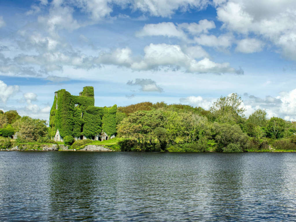 Castle BellewArchaeological place · 1.7 mi
 Ballinlass Eviction MemorialMemorial · 4.6 mi
 Menlough IRAMemorial · 4.7 mi
 Knockmoy AbbeyHeritage attraction · 7.5 mi
 Mount MaryMountain / peak · 9.5 mi