What is recorded here
HMS Godetia sank off County Antrim in 1940, leaving a low scatter of rust and memory at 160 metres. The wreck still holds a sharp 40-by-3-by-2.8 metre anomaly, perhaps a deck, a keel or a chamber waiting to be recognised. Whatever it was, the sea took it quickly and kept it without display.
The official Northern Ireland wreck record identifies HMS Godetia (prob.) as Corvette. It was lost in 1940. Recorded depth: 160m. Recorded condition: Area of low-lying dispered wreckage. Anomaly = 40 X 3 X 2.8m..
HMS Godetia, a British corvette, was lost in 1940 during World War II. It sank in deep water off Northern Ireland, likely as a result of enemy action or mine strike, with no survivors recorded; its wreck remains an important wartime maritime archaeological site.
A wreck point does not grant access or permission to dive, enter land, disturb the site or recover anything. Check current law and local conditions first.
Places near here
 Rathlin East (Altacarry Head) LighthouseLighthouse · 3.3 mi
 FORTIFICATION: BRUCE'S CASTLE in BallycarryFORTIFICATION: BRUCE'S CASTLE · 3.3 mi
 Rathlin CastleRuins · 3.3 mi
 Ballycarry Trail, RathlinWalking route · 3.5 mi
 Brackens CaveCave · 3.6 mi
 Drystone enclosure: possible boat shelter in BallynoeDrystone enclosure: possible boat shelter · 3.7 mi
 POSSIBLE PROMONTORY FORT in CraigmacaganPOSSIBLE PROMONTORY FORT · 3.7 mi
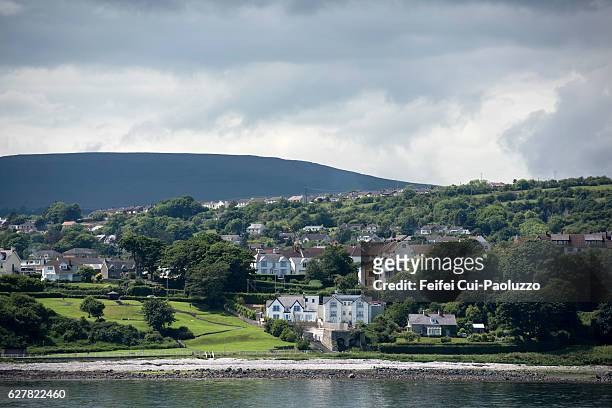 CarrickagileHeadland · 3.7 mi
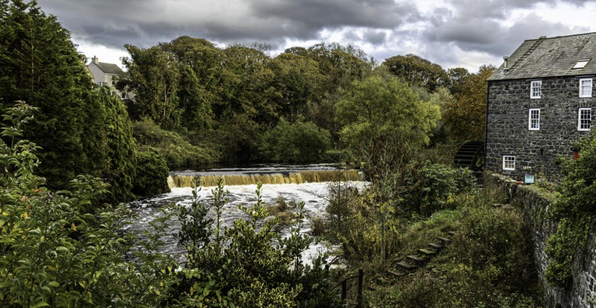 RuenascarriveHeadland · 3.9 mi
 Boathouse Visitor Centre & MuseumMuseum · 4.3 mi
 Boat HouseBoat House · 4.3 mi
 Rathlin IslandIsland · 5.7 mi