What is recorded here
Six roads ended in Ballygrainey, not one, creating a rare star-shaped settlement where post-medieval travellers chose between several exits instead of following a single line. The official record preserves only that unusual junction and its County Down location, leaving the daily lives of its residents implied rather than described. Perhaps the many roads served markets, farms and faith in the same week, drawing people inward before sending them outward again.
The official Northern Ireland record identifies this as Historic Settlement Six Roads Ends. Recorded period: POST-MED. The official map point was placed at the centre of the recorded archaeological site from the source map reference.
The monument record does not grant public access. Check the route and ask the landowner before entering private land.
- What survives
- Recorded monument
Places near here
 Ballygrainey Presbyterian ChurchChurch · 110 yd
 A.P. SITEA.P. SITE, rectangular enclosure · 1.6 mi
 MEDIEVAL CHURCH & HOSPITAL (site of): ST.MARY'S OF HAYTON in BallyhayMEDIEVAL CHURCH & HOSPITAL (site of): ST.MARY'S OF HAYTON · 2.1 mi
 Somme Heritage CentreMuseum · 2.2 mi
 North Down MuseumMuseum · 2.3 mi
 Bangor CastleCastle · 2.4 mi
 Town HallTown Hall · 2.4 mi
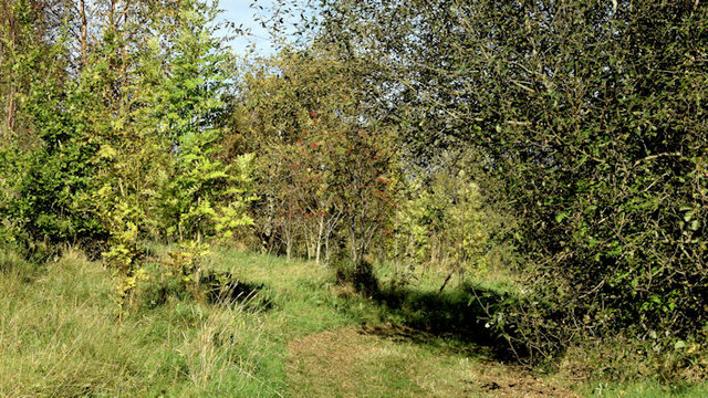 Kilcooley WoodWood · 3.1 mi
 Skippingstone BeachBeach / strand · 3.2 mi
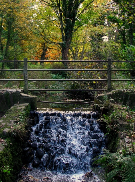 Stricklands GlenWood · 3.4 mi
 Brompton BayBeach / strand · 3.4 mi
 PLANTATION HOUSE & BAWN: CASTLE GARDENS in NewtownardsPLANTATION HOUSE & BAWN: CASTLE GARDENS · 3.6 mi