What is recorded here
Newtownards emerged during the C17TH in County Down, Ireland, forming a compact human settlement rather than a scattered temporary camp. People likely built homes, dug storage pits and marked boundaries because the location offered practical advantages for daily survival. The settlement may have hosted markets, festivals or quiet neighbourhood disputes, revealing that ordinary life sustained the place long before modern records appeared.
The official Northern Ireland record identifies this as HISTORIC SETTLEMENT: NEWTOWNARDS. Recorded period: C17TH. The official map point was placed at the centre of the recorded archaeological site from the source map reference.
The monument record does not grant public access. Check the route and ask the landowner before entering private land.
- What survives
- Recorded monument
Places near here
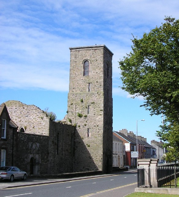 NEWTOWNARDS PRIORY: CHURCH OF DOMINICAN FRIARY in Corporation North (newtownards)NEWTOWNARDS PRIORY: CHURCH OF DOMINICAN FRIARY · 152 yd
 PLANTATION HOUSE & BAWN: CASTLE GARDENS in NewtownardsPLANTATION HOUSE & BAWN: CASTLE GARDENS · 156 yd
 MARKET CROSS in NewtownardsMARKET CROSS · 157 yd
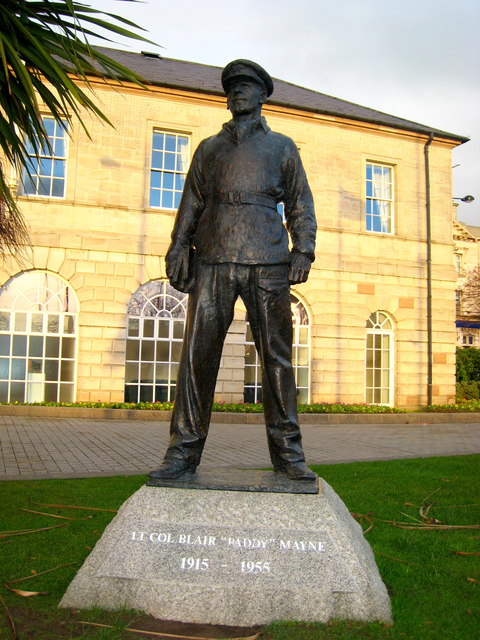 Blair Mayne statueMonument · 290 yd
 Regent HouseShop · 605 yd
 CASTLE in Commons (newtownards)CASTLE · 1658 yd
 Kiltonga Nature ReserveNature reserve · 1748 yd
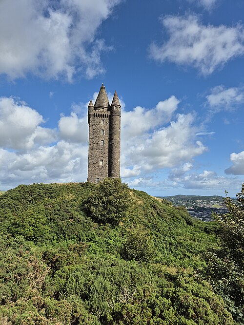 Scrabo TowerHeritage attraction · 1.1 mi
 Scrabo HillMountain / peak · 1.2 mi
 Somme Heritage CentreMuseum · 1.7 mi
 CairngaverMountain / peak · 2.8 mi
 Rough IslandIslet · 3.1 mi