What is recorded here
Mullartown in County Down, Ireland holds a post-medieval settlement where human life once repeated itself beside the land. The official record points to the centre of that archaeological site, suggesting people lived, worked and left traces broad enough to mark still. Whatever tools they handled or meals they shared, the earth kept the shape of their days long after their names faded.
The official Northern Ireland record identifies this as Historic Settlement Mullartown. Recorded period: POST-MED. The official map point was placed at the centre of the recorded archaeological site from the source map reference.
The monument record does not grant public access. Check the route and ask the landowner before entering private land.
- What survives
- Recorded monument
Places near here
 Mullartown HouseHotel · 589 yd
 Annalong Coastal PathWalking route · 1304 yd
 Mourne Coastal Route: Annalong - A Granite PortVisitor information · 1416 yd
 Annalong Corn MillMill · 1422 yd
 CASHEL?: OLD CASTLE (unlocated) in GlasdrummanCASHEL?: OLD CASTLE (unlocated) · 1.1 mi
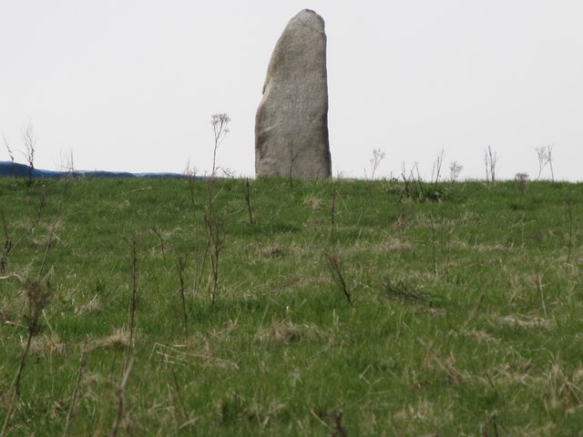 LongstoneArchaeological place · 1.4 mi
 Round SeefinViewpoint · 1.5 mi
 ENCLOSURE in Ballyveagh MoreENCLOSURE · 2.0 mi
 Annalong WoodForest · 2.2 mi
 Spences MountainMountain / peak · 2.4 mi
 Black RockHeritage attraction · 2.8 mi
 Chimney Rock MtnMountain / peak · 2.9 mi