What is recorded here
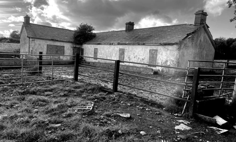
Monteith stands in Tullintanvally, County Down, as a post-medieval settlement marked only by a single point on an official map. That bare dot hides rooms, fires and voices now lost, yet the land still holds the shape of hands that built there. People may have lived beside water, traded news or simply endured winter in small wooden walls. The name survives without explanation, forcing imagination to fill the gap left by silence.
The official Northern Ireland record identifies this as Historic Settlement Monteith. Recorded period: POST-MED. The official map point was placed at the centre of the recorded archaeological site from the source map reference.
The monument record does not grant public access. Check the route and ask the landowner before entering private land.
- What survives
- Recorded monument
Places near here
 ENCLOSURE -rath? in BallynafoyENCLOSURE -rath? · 791 yd
 ENCLOSUREENCLOSURE, rath? · 1063 yd
 Poland's BridgeBridge · 1.6 mi
 KnockiveaghMountain / peak · 2.0 mi
 Knockiveagh Picnic SitePicnic place · 2.0 mi
_-_geograph.org.uk_-_3702332.jpg?width=1280) Mulligan's BridgeBridge · 2.5 mi
Mulligan's BridgeBridge · 2.5 mi Game of Thrones Studio TourHeritage attraction · 2.6 mi
 CASTLE & RATH reused as BAILEY: SEAFIN CASTLE; Magh Cobha; Moycove in SeafinCASTLE & RATH reused as BAILEY: SEAFIN CASTLE; Magh Cobha; Moycove · 3.2 mi
 OuleyMountain / peak · 3.5 mi
 The Brontë CentreVisitor information · 3.5 mi
 FE McWilliam Gallery and StudioGallery · 4.0 mi
 CHURCH (Listed) & GRAVEYARD in MagherallyCHURCH (Listed) & GRAVEYARD · 4.2 mi