What is recorded here
Loughries in Ballywatticock, County Down, held a post-medieval settlement where human life leaves behind only a faint trace. The land may have supported homes, fields or passing trade, yet no named building or date remains to mark the exact shape of that daily world. What is certain is that people lived there long enough to be recorded, then withdrew into the ordinary forgetfulness of time.
The official Northern Ireland record identifies this as Historic Settlement Loughries. Recorded period: POST-MED. The official map point was placed at the centre of the recorded archaeological site from the source map reference.
The monument record does not grant public access. Check the route and ask the landowner before entering private land.
- What survives
- Recorded monument
Places near here
 ENCLOSURE in BallyreaghENCLOSURE · 1.2 mi
 ENCLOSURE in BallyewryENCLOSURE · 1.4 mi
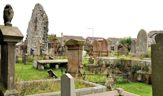 MOVILLA ABBEY: CHURCH OF THE AUGUSTINIAN CANONS in MovillaMOVILLA ABBEY: CHURCH OF THE AUGUSTINIAN CANONS · 1.8 mi
 Movilla AbbeyRuins · 1.8 mi
 CASTLE in Commons (newtownards)CASTLE · 2.0 mi
 PLANTATION HOUSE & BAWN: CASTLE GARDENS in NewtownardsPLANTATION HOUSE & BAWN: CASTLE GARDENS · 2.3 mi
 Lake Walk, Mount StewartWalking route · 2.4 mi
 Mount StewartHeritage attraction · 2.4 mi
 Red Trail, Mount StewartWalking route · 2.9 mi
 Somme Heritage CentreMuseum · 3.0 mi
 Scrabo HillMountain / peak · 3.0 mi
 Rough IslandIslet · 3.0 mi