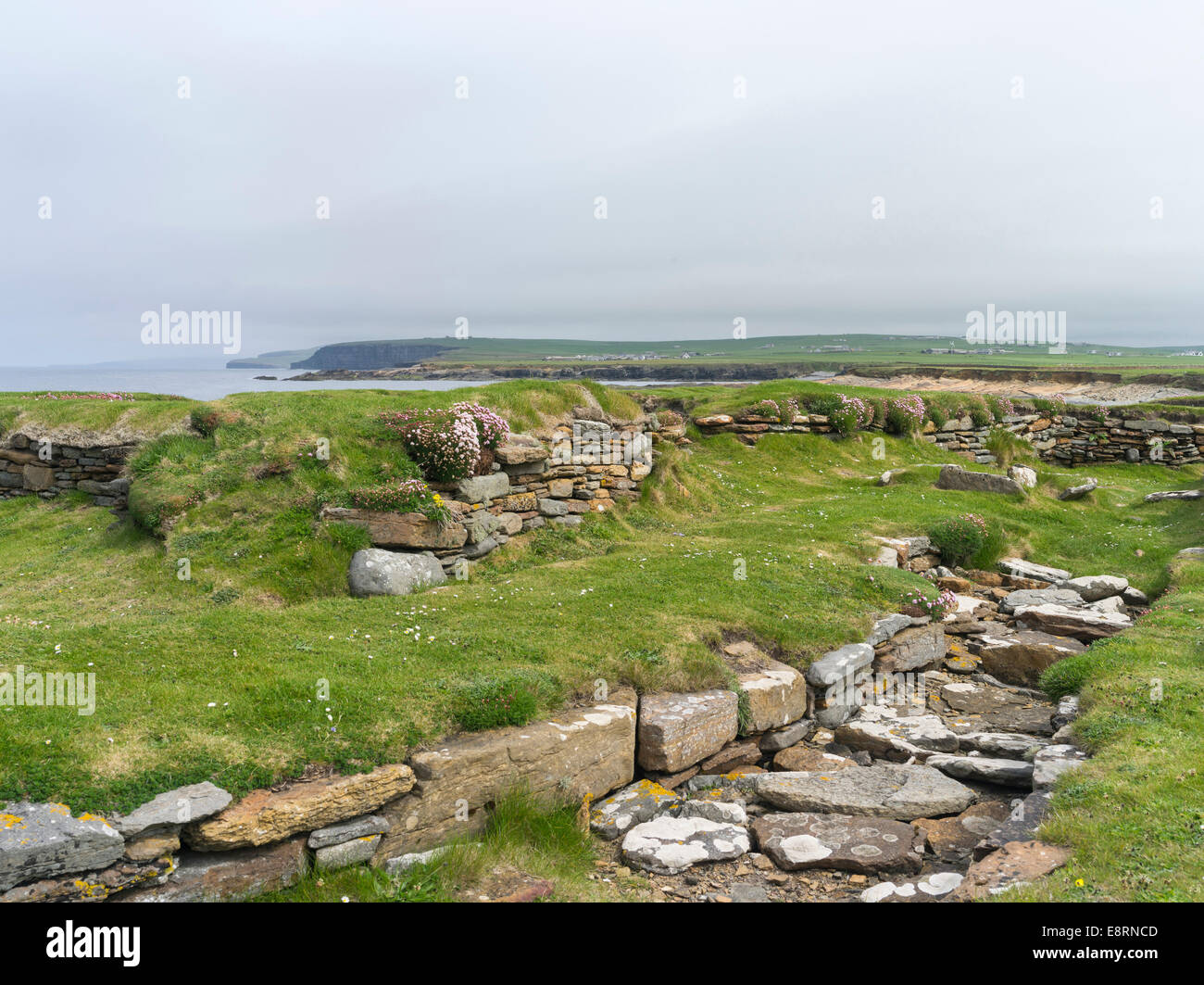
What is recorded here
Darragh Cross in Barnamaghery is a post-medieval settlement where human life clustered before modern boundaries drew their sharp lines. The name suggests a crossing place, perhaps a road junction or a meeting point for travellers, traders and families moving through County Down. Whether the cross marked a boundary, a shrine or a simple wayfinding post, the settlement grew around that anchor. Houses, fields and roads later covered the original shape, but the name preserved the fact that people once gathered there and made the land meaningful.
The official Northern Ireland record identifies this as Historic Settlement Darragh Cross. Recorded period: POST-MED. The official map point was placed at the centre of the recorded archaeological site from the source map reference.
The monument record does not grant public access. Check the route and ask the landowner before entering private land.
- What survives
- Recorded monument
Places near here
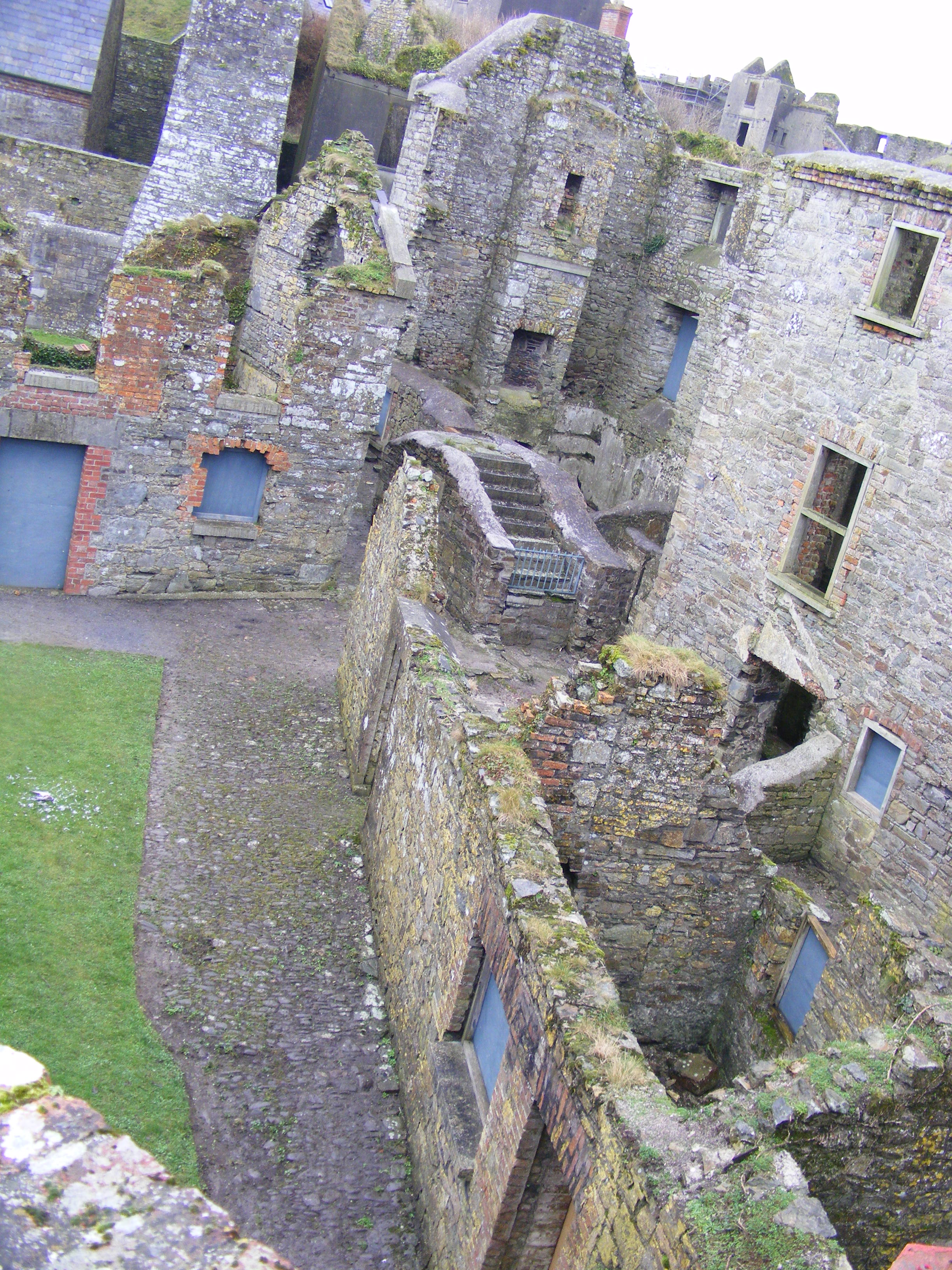 ENCLOSURE: CURLEY'S FORT in BarnamagheryENCLOSURE: CURLEY'S FORT · 528 yd
 ENCLOSURE in AughnadarraghENCLOSURE · 1504 yd
 Raffrey Presbyterian ChurchChurch · 1.1 mi
.jpg?width=1280) Saintfield StationRailway Station Structures · 2.6 mi
Saintfield StationRailway Station Structures · 2.6 mi Glasswater WoodWood · 2.7 mi
 Battle of Saintfield (1798)Battlefield · 2.8 mi
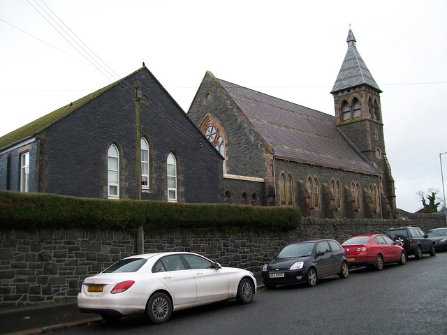 The Square Car ParkVisitor information · 3.7 mi
 ShrigleyVisitor information · 4.9 mi
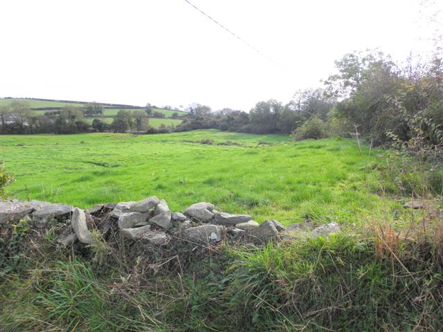 Wallace HillMountain / peak · 5.0 mi
 Post-Medieval church & graveyard in TullynakillPost-Medieval church & graveyard · 5.1 mi
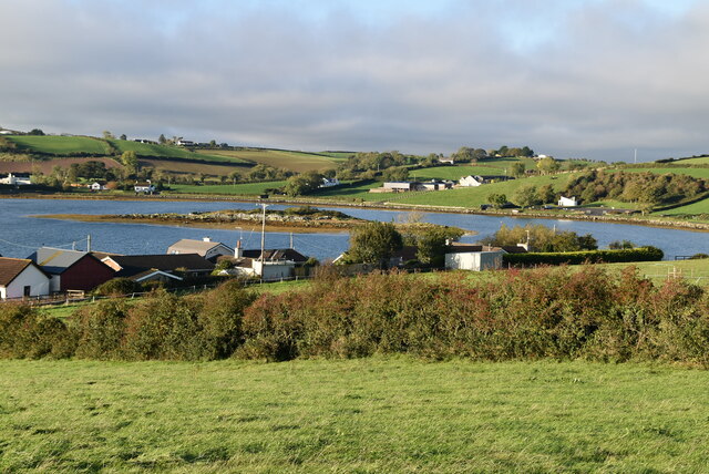 Hen IslandIslet · 5.2 mi
 Conly IslandIslet · 5.2 mi
Other information
Photo: Credit not shown in the picture search · Rights wording not checked; contact us if this picture should be removed