What is recorded here
Crawfordsburn in Ballymullan, County Down, is a post-medieval settlement where people lived, worked and changed the land before modern boundaries existed. The name preserves a human presence older than today's roads, fields and memories. Whatever its streets or rooms once held, the place still carries the weight of ordinary life continued across generations.
The official Northern Ireland record identifies this as Historic Settlement Crawfordsburn. Recorded period: POST-MED. The official map point was placed at the centre of the recorded archaeological site from the source map reference.
The monument record does not grant public access. Check the route and ask the landowner before entering private land.
- What survives
- Recorded monument
Places near here
 Railway BridgeBridge · 734 yd
 Crawford HouseHouse · 1027 yd
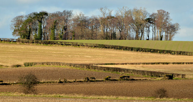 Jan Mayen ClumpWood · 1113 yd
 Crawfordsburn Country ParkWood · 1141 yd
 North Down Coastal PathWalking route · 1564 yd
 ENCLOSURE: GLENCAIRN in BallymullanENCLOSURE: GLENCAIRN · 1574 yd
 ENCLOSURE in BallygrotENCLOSURE · 1710 yd
 Grey Point FortHeritage attraction · 1.3 mi
 Brompton BayBeach / strand · 1.8 mi
 Skippingstone BeachBeach / strand · 2.1 mi
 Bangor CastleCastle · 2.3 mi
 North Down MuseumMuseum · 2.4 mi