What is recorded here
Clabby stands in Ramaley, County Fermanagh, as a post-medieval settlement where human life once repeated the ordinary rhythms of residence and labour. The land may have held kitchens, gardens and paths now erased, while memory preserves only the name and the rough shape of what stood there.
The official Northern Ireland record identifies this as Historic Settlement Clabby. Recorded period: POST-MED. The official map point was placed at the centre of the recorded archaeological site from the source map reference.
The monument record does not grant public access. Check the route and ask the landowner before entering private land.
- What survives
- Recorded monument
Places near here
 Possible curvilinear enclosure in Drumhirk; KnocknastackanPossible curvilinear enclosure · 1661 yd
 Rectangular enclosure (possible) in KnocknastackanRectangular enclosure (possible) · 1759 yd
 Cole Glen ForestForest · 2.6 mi
 Annagh DemesneWood · 2.6 mi
 Methodist ChurchChurch · 2.7 mi
 "Fivemiletown Deli" G8 Virtual ShopHeritage attraction · 2.7 mi
 St.John's ChurchChurch · 2.8 mi
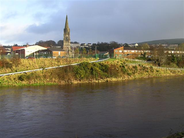 StraniskMountain / peak · 3.5 mi
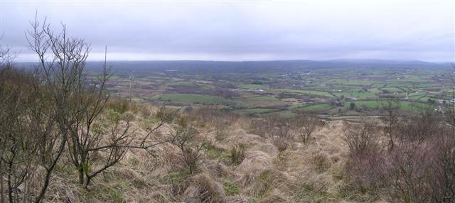 Brougher MountainMountain / peak · 3.9 mi
 Aughintain CastleRuins · 5.6 mi
 C17th FORTIFIED HOUSE & BAWN: AUGHENTAINE or AGHINTAIN CASTLE in AghintainC17th FORTIFIED HOUSE & BAWN: AUGHENTAINE or AGHINTAIN CASTLE · 5.6 mi
 The Station House, BrookeboroughHeritage attraction · 6.2 mi