What is recorded here
Bangor layered medieval, early Christian and georgian life inside one townland, proving the place never emptied but kept adding rooms. Each era likely covered the last with houses, roads or worship rather than erasing what stood before. The settlement endured because people kept returning to the same useful ground, changing its shape but not its purpose.
The official Northern Ireland record identifies this as HISTORIC SETTLEMENT: BANGOR. Recorded period: LATE-MED; C19TH; C17TH; MEDIEVAL; E.CHRIST.; C18TH. The official map point was placed at the centre of the recorded archaeological site from the source map reference.
The monument record does not grant public access. Check the route and ask the landowner before entering private land.
- What survives
- Recorded monument
Places near here
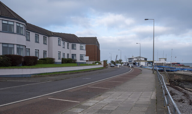 North Down Coastal PathVisitor information · 122 yd
 McKee ClockMonument · 136 yd
 Bank of IrelandBank · 202 yd
 Orange HallHall · 232 yd
 Bangor CenotaphMonument · 545 yd
 Bangor CastleCastle · 773 yd
 North Down MuseumMuseum · 807 yd
 Skippingstone BeachBeach / strand · 819 yd
 Brompton BayBeach / strand · 1337 yd
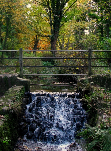 Stricklands GlenWood · 1.0 mi
 Kilcooley WoodWood · 1.7 mi
 Crawfordsburn Country ParkVisitor information · 2.0 mi