What is recorded here
Knocknasnaa held a double-ringed hilltop enclosure overlooking two valleys until recent ploughing erased it from the crest. The western bank survived in aerial photographs and historic mapping, but the eastern half faded even from those records, leaving a ghost of a circle rather than a complete fort. People may have gathered there to watch weather turn or mark boundary between valleys, yet no entrance or internal trace remains to confirm the purpose. What is left is a smooth pasture edge and a conifer shadow to the north, where a visible monument became an absent one.
In pasture, on crest of broad E-W rise. Monument, depicted as embanked circular enclosure (diam. c. 70m) on 1923 OS 6-inch map, has been levelled. No trace of monument evident when inspected. Area immediately N of site is covered by coniferous plantation.
The monument was recently described in the Atlas of Hillforts of Britain and Ireland as following; 'Circular multiple enclosure with a total site footprint of approximately 0.5ha positioned at the crest of a broad E-W rise on SE facing slopes of hilltop and overlooking the interchange between two distinctive valleys running N-S and E-W. Bivallate on the W side, the enclosing elements probably originally formed two complete circuits. There are no obvious entrance features. No evidence for any internal activity on the surface. The fort has been completely levelled in recent times. Visible in aerial photographs prior to 1995 and in historic mapping, the enclosing elements comprised a complete outer rampart which survives well throughout the circuit and an inner, concentric bank. The E half of this enclosing element is not apparent in aerial photographs or in the historic mapping. The interior is covered in dense scrub. First map depiction in first edition Ordnance Survey mapping. More detailed earthwork survey in second edition Ordnance Survey mapping.' (http://hillforts.arch.ox.ac.uk/records/IR0917.html)
Compiled by: Denis Power
Revised by: Caimin O'Brien
Date of revised upload: 30 January 2020
The monument record does not grant public access. Check the route and ask the landowner before entering private land.
- What survives
- Recorded monument
Places near here
 BarrowBarrow, ring-barrow · 1219 yd
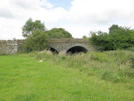 bridgebridge · 1504 yd
 Enclosure in KnockbrackEnclosure · 1.1 mi
 Oolagh Bridgebridge · 1.2 mi
 Purt CastleCastle · 1.2 mi
 Lawson's CypressLawson's Cypress · 4.3 mi
 Barnagh HillMountain / peak · 5.2 mi
 CastleCastle, tower house · 6.7 mi
 John B. KeaneMemorial · 7.8 mi
 Holocaust MemorialMemorial · 7.8 mi
 Kerry Writers' MuseumMuseum · 8.3 mi
 Three CountiesPicnic place · 8.5 mi