What is recorded here
On the summit of a prominent steep-sided hill, in hilly pastureland. Aerial reconnaissance in June 1986 (ASGAP 267:5-7) revealed this large irregular enclosure (diam. c. 170m). It is defined from NW through E to S by a low stony bank (Wth 3.1m; ext. H 1m; int. H 0.3m) and is best preserved at E. From S to SSW, only intermittent traces of the bank are evident. The steep natural slope of the hill forms the enclosing element from SSW to NW. A gap (Wth 3m) occurs at ENE. The interior is uneven and rocky. A cashel (GA115-053----) lies c. 45m to the E.
Compiled by: Galway Archaeological Survey, UCG
Date of upload: 14 December 2017
The monument record does not grant public access. Check the route and ask the landowner before entering private land.
- What survives
- Recorded monument
Places near here
 TobermacduaghHoly well · 507 yd
 Lisheenaclara Bridgebridge · 1123 yd
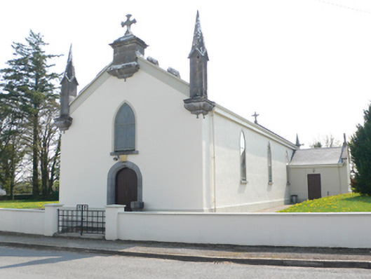 Saint Mary's Catholic Churchchurch/chapel · 1513 yd
 CaveMan-made underground passage · 1.1 mi
 Stone Islands SouthIslet · 2.2 mi
 Island McCooIslet · 2.3 mi
 Ballynamantragh CastleCastle, unclassified · 2.3 mi
 Long PointHeadland · 2.4 mi
 Castle (in ruins)Castle, tower house · 2.8 mi
 Scalpeen RockNamed rock · 4.0 mi
 Derrybrien Bog SlideHeritage attraction · 5.2 mi
 Dartfield Horse MuseumHeritage attraction · 5.4 mi