What is recorded here
Sharon Parr of the BurrenLIFE project discovered a vast stone boundary wrapping Cappanawalla hill, enclosing more than 160 hectares across Feenagh, Lismacteige, Newtown, Gleninagh South, Lismacsheedy and Ballyconry. The disjointed banks sit on three levels, with deliberate gaps and two upper cairns, suggesting a ceremonial gathering place rather than a defensive fortress. People may have walked these ancient routes to meet beneath the watchful hill, marking time and territory in the wide Burren sky.
Situated in a strategic location overlooking Gleninagh and Ballyvaughan. This monument consists of a number of discontinuous banks that encompass the upper part of Cappanawalla hill, enclosing an area in excess of 160 hectares. The banks cross through the townlands of Gleninagh South, Ballconry, Newtown, Lismacsheedy, Lismacteige and Feenagh. The monument was discovered by Sharon Parr of the BurrenLIFE project (Grant 2007). Subsequent survey and excavation (Grant 2008 and 2011) have revealed that the banks, which are now mostly overgrown by grass, were skillfully constructed stone banks. The banks occur on at least three different levels of the hill. For most of their circuit the banks run between the 260m and 270m contours but the uppermost bank was constructed on a natural terrace between the 270m and 280m contour, at the SE end of the hill. Two cairns (CL002-076002- and CL002-206002-) sit on the line of the bank at this upper level. Although their relationship to the banks is unclear there are indications that the construction of the cairns may postdate the banks. There are a large number of gaps along the circuit of the enclosure. Some of the gaps appear to be related to natural topographic features such as depressions and limestone terraces and some are deliberately defined by upright kerbstones. The number of gaps would imply that the enclosure was not constructed for defence. Survey has shown its form to have more in common with the Neolithic banks recorded on Knocknarea, Co. Sligo (SL014-076024-). The monument overlooks two natural passes, at Gleninagh and Ballyvaughan. It is possible that the enclosure may have defined a prehistoric gathering place along a routeway through the Burren Uplands.
Compiled by: Mary Tunney and Christine Grant
Date of upload: 7 August 2018
The monument record does not grant public access. Check the route and ask the landowner before entering private land.
- What survives
- Recorded monument
Places near here
 IndicatedEnclosure · 111 yd
 CappanawallaMountain / peak · 423 yd
 CaherfeenaghFairy fort / stone ringfort · 1012 yd
 Newtown CastleCastle, tower house · 1.4 mi
 Gleninagh CastleCastle · 1.5 mi
 Rine PointHeadland · 1.7 mi
 Formoyle R.C. ChapelChurch · 1.8 mi
 Catholic Church of Saint John the Baptistchurch/chapel · 1.9 mi
 Bird Of Prey CentreHeritage attraction · 2.7 mi
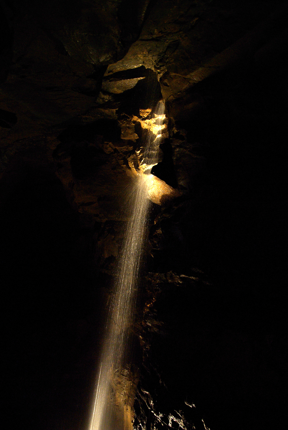 Aillwee CaveCave · 2.9 mi
 Cullaun 1Cave · 3.6 mi
 Slieve ElvaMountain / peak · 3.8 mi