What is recorded here
Higher Ashfield Copse is shown as a wood on the public map of Somerset. The saved point is the map point or the centre of its mapped shape.
This does not grant access. Check current paths, opening conditions and ownership before entering.
Places near here
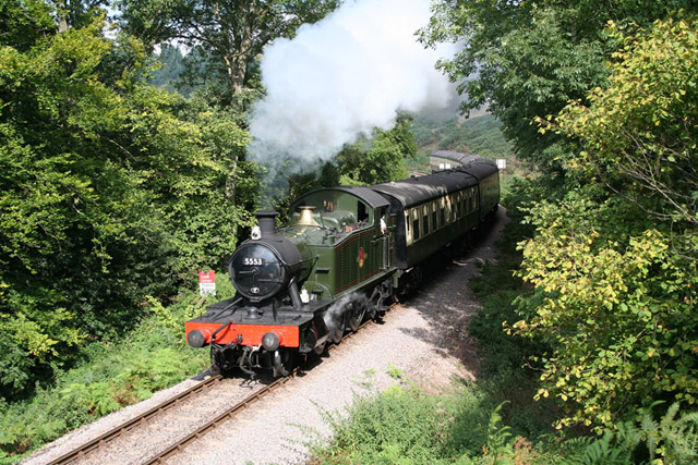 Crowcombe: West Somerset Railway at Stones WoodForest or wood · 627 yd
 Lawford FarmhouseListed building · 698 yd
 Crowcombe: Crowcombe church and crossChurch, cross or graveyard · 745 yd
 Churchyard cross immediately south of Holy Ghost ChurchScheduled monument · 860 yd
 Crowcombe village cross 170m north west of Holy Ghost ChurchScheduled monument · 914 yd
 Fire BeaconMountain / peak · 1595 yd
.jpg?width=1280) Great HillMountain / peak · 1.1 mi
Great HillMountain / peak · 1.1 mi Leigh WoodWood · 1.2 mi
 Thorncombe Hill, QuantocksMountain or hill · 1.6 mi
 Halsway PostVisitor information · 1.6 mi
 Tower Farms, Dean CrossCastle, fort or tower · 2.1 mi
 Walford's GibbetMemorial · 3.1 mi