What is recorded here
Located in a low-lying drumlin valley with views onto the Ox Mountains in the S and Knocknarea in the W. Comprises a circular area (diam. 45m) enclosed by two banks and intervening fosse. The entrance (Wth 8.2m) is located in the E. Excavations in advance of road construction revealed a cremation at the base of the fosse and features in the interior that included a pit (diam. 1.3m; D 0.70m) and a number of cut features. Lithics that included scrapers, flakes, a chalk ball and a sherd of plain coarseware were also retrieved from the fosse. Radio-carbon dates obtained from charcoal samples produced a date of 2460-2140 cal. BC which is thought to date from the primary phase of the site (Danaher, E. 2007, 43-59).
Compiled by: Geraldine Stout
Date of upload: 24 October 2013
The monument record does not grant public access. Check the route and ask the landowner before entering private land.
- What survives
- Recorded monument
Places near here
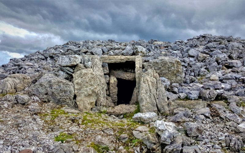 IndicatedFairy fort / stone ringfort · 787 yd
 Enclosure in Tullynagracken SouthEnclosure · 821 yd
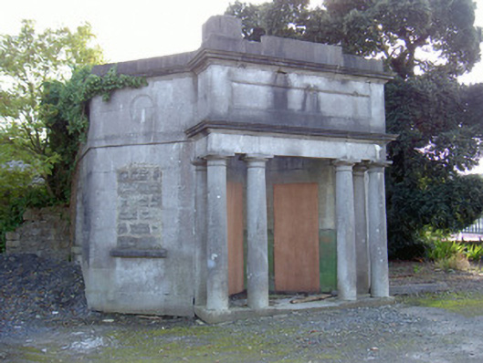 Sligo Cemeterygate lodge · 1.1 mi
 Tobernalt Holy WellSpring · 1.4 mi
 Carrowmore Megalithic CemeteryHeritage attraction · 1.6 mi
 Green IslandIslet · 1.6 mi
 Aghamore BayBay · 1.7 mi
 abbeyabbey · 1.7 mi
 Carrowmore Visitors CentreVisitor information · 1.7 mi
 Bernard's IslandIslet · 1.8 mi
 Tiffin's IslandWood · 1.8 mi
 Strawberry treeStrawberry tree · 1.8 mi