What is recorded here
Archaeological testing (00E0327) over an extensive area (dims c. 500m NW-SE; c. 300m NE-SW) identified four hearths in a fairly small area (dims c. 60m x c. 40m). The hearths were placed c. 10-30m apart and were close to a large, V-shaped E-W ditch (max. Wth 2.4m; max. D 0.8m; L 50m plus) that curves slightly to the N. The ditch was filled with silts that produced little material apart from post-medieval ceramics in its upper levels. This ditch was cut by an E-W ditch (Wth c. 2m; D 0.7m) that was filled with silts containing fragments of red brick and which is represented on the 1908 edition of the OS 6-inch map. Smaller drains (Wth 0.3-0.4m; D 0.1-0.2m) feed into this from the N creating a few rectangular plots (dims c. 20m x c. 10m) close to the mapped ditch, but it is not known how they relate to the hearths. The hearths (dims 1.2m x 1.05m, T 0.07m to 2.4m x 1.95m, T 0.2m) consisted of spreads of charcoal and oxidised clay over the natural. Four other spreads of charcoal were located further away. These were less substantial (dims 0.45m x 0.3m to 1.36m x 0.95m; T 0.02-0.05m) spreads of charcoal-flecked soil within the topsoil. (Murphy 2001)
Compiled by: Michael Moore
Date of upload: 16 February 2021
The monument record does not grant public access. Check the route and ask the landowner before entering private land.
- What survives
- Recorded monument
Places near here
 EnclosureEnclosure, large enclosure · 1714 yd
 Ecclesiastical enclosure in Baltigeer,cappabogganEcclesiastical enclosure · 1744 yd
 Church (in Ruins)Church · 1.0 mi
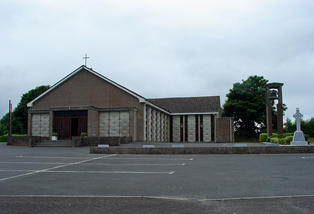 Catholic Church of the Assumptionchurch/chapel · 1.1 mi
 Rattin CastleCastle, tower house · 1.8 mi
 Castle JordanArchaeological place · 2.6 mi
 Roundhill WoodForest · 4.0 mi
 Rahin WoodsForest · 4.0 mi
 Moat HillMountain / peak · 4.1 mi
 Knockdrin HillMountain / peak · 5.1 mi
 Croppies' GraveMemorial · 5.5 mi
 Sli na Slainte - mapVisitor information · 12 mi