What is recorded here
Tankardstown Church ruins still occupy the centre of a rectangular stone-walled graveyard on the western bank of the River Barrow, preserving two seventeenth-century memorial stones. Samuel Cooper’s headstone stands in the eastern quadrant, while Mathew Cain’s stone lies immediately north of it and records his death in 1674. The undulating countryside gives the place a quiet, forgotten dignity, as if the church, stones and river had kept a small ceremony alive long after its people left it.
In undulating countryside on the W bank of the River Barrow. Rectangular shaped graveyard (LA026-009003-) enclosed by a stone wall as indicated on current ed OS 6-inch map. Tankardstown Church (LA026-009001-) ruins in centre of graveyard. 17th century headstone of of Samuel Cooper in E quadrant of graveyard with second 17th century memorial stone (LA026-009006-) of Mathew Cain immediately to N. The inscription on this memorial stone recorded that he died in 1674.
See attached plan and photographs courtesy of Michael Donovan
Compiled by: Caimin O'Brien based on details provided by Michael Donovan, Athy Cemeteries Committee
Date of upload: 4 October 2022
The monument record does not grant public access. Check the route and ask the landowner before entering private land.
- What survives
- Recorded monument
Places near here
 Tankardstown Church (in ruins)Church · 17 yd
 Levitstown Millmill (water) · 319 yd
 Enclosure in TankardstownEnclosure · 674 yd
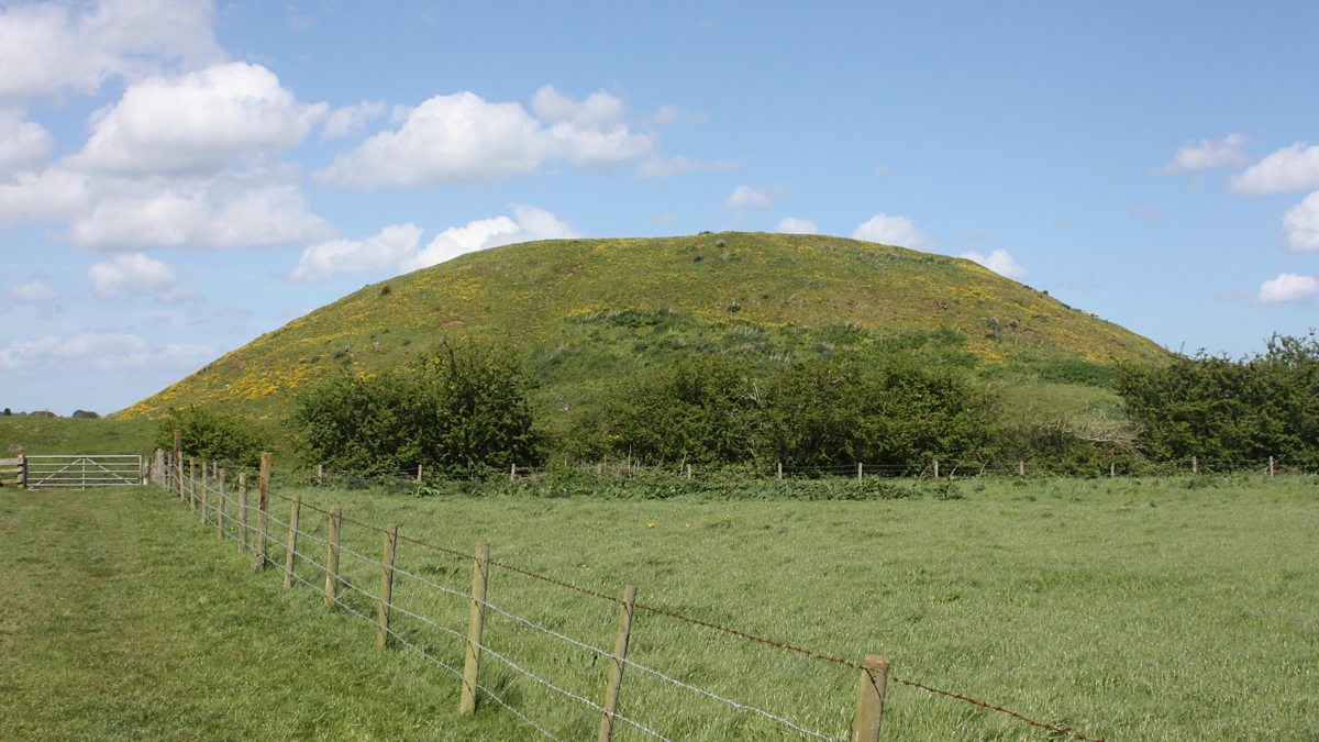 The MoundCastle, motte and bailey · 1462 yd
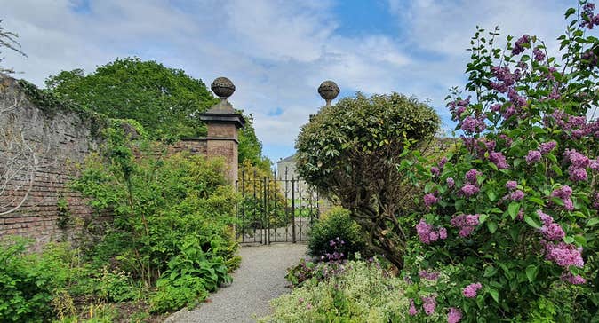 Enclosure in Rosetown (grangemellon Ed)Enclosure · 1558 yd
 .Site of St. Legers CastleCastle, unclassified · 1.0 mi
 Dollardstown WoodForest · 1.7 mi
 Lorcán Ó TuathailMemorial · 3.2 mi
 Mullaghreelan WoodForest · 3.3 mi
 ProclamationMemorial · 5.0 mi
 Franciscan FriaryHeritage attraction · 5.2 mi
 Castledermot Round TowerHeritage attraction · 5.3 mi