What is recorded here
In undulating countryside on the W bank of the River Barrow. Rectangular shaped graveyard (LA026-009003-) enclosed by a stone wall as indicated on current ed OS 6-inch map. Tankardstown Church (LA026-009001-) ruins in centre of graveyard. 17th century headstone of of Samuel Cooper in E quadrant of graveyard with second 17th century memorial stone (LA026-009006-) of Mathew Cain immediately to N. The inscription on this memorial stone recorded that he died in 1674.
See attached plan and photographs courtesy of Michael Donovan
Compiled by: Caimin O'Brien based on details provided by Michael Donovan, Athy Cemeteries Committee
Date of upload: 4 October 2022
The monument record does not grant public access. Check the route and ask the landowner before entering private land.
- What survives
- Recorded monument
Places near here
 Tankardstown Church (in ruins)Church · 17 yd
 Levitstown Millmill (water) · 319 yd
 Enclosure in TankardstownEnclosure · 674 yd
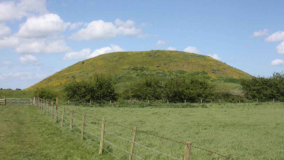 The MoundCastle, motte and bailey · 1462 yd
 Enclosure in Rosetown (grangemellon Ed)Enclosure · 1558 yd
 .Site of St. Legers CastleCastle, unclassified · 1.0 mi
 Dollardstown WoodForest · 1.7 mi
 Lorcán Ó TuathailMemorial · 3.2 mi
 Mullaghreelan WoodForest · 3.3 mi
 ProclamationMemorial · 5.0 mi
 Franciscan FriaryHeritage attraction · 5.2 mi
 Castledermot Round TowerHeritage attraction · 5.3 mi