What is recorded here
Scotland's National Record of the Historic Environment records Harrington as Craft (period Unassigned)-(1916), Obstruction (period Unassigned)-(1916). The official map says its point is accurate as follows: NGR given to the nearest 1m. The record does not by itself mean that the public may enter the place.
The historic-place record does not grant public access. Check current conditions and ownership before entering land or a building.
Places near here
 SQUARE ENCLOSURE? in BallylumfordSQUARE ENCLOSURE? · 104 yd
 MV Princess Victoria MemorialMemorial · 422 yd
 Princess Victoria MemorialMemorial · 433 yd
 Chaine Tower LighthouseLighthouse · 589 yd
 TOWER-HOUSE: TCHEVET CASTLE (unlocated) in Curran AND Drumaliss; LarneTOWER-HOUSE: TCHEVET CASTLE (unlocated) · 1086 yd
 Olderfleet CastleCastle · 1281 yd
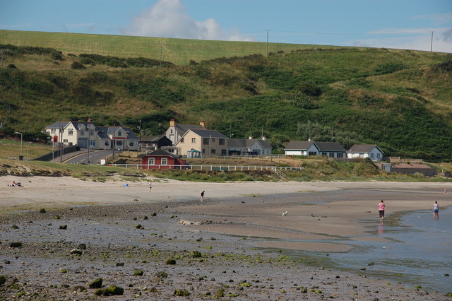 Browns bay walkBeach / strand · 1.0 mi
 Larne War MemorialMemorial · 1.3 mi
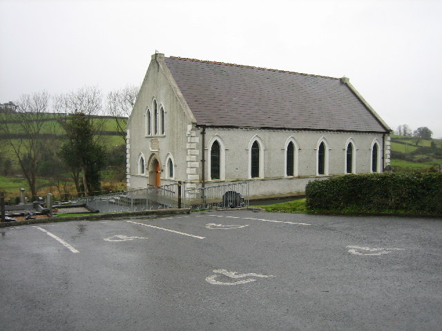 CHURCH SITE (unlocated) in BallydownCHURCH SITE (unlocated) · 1.6 mi
 Swan IslandIslet · 1.9 mi
 North HeadHeadland · 2.8 mi
 Isle of MuckIsland · 2.9 mi