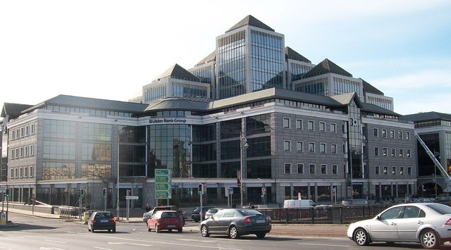
What is recorded here
Dressed ashlar granite quays, constructed c.1810, having concrete coping, recent steel rails, parapet wall with carved granite coping and masonry quay steps adjacent to Loopline Bridge. Cast-iron ladders rebated into quay walls.
The area south of the river and east of the city was slob land until the early eighteenth century, when dykes were built to reclaim land from the river. The granite quay walls were built by the Ballast Board as part of the continuous quay along the south side of the river at the beginning of the nineteenth century. These quay walls protected the reclaimed land behind from flooding, served as a landing stage for Dublin port, and, with the other quays, created a platform for a thoroughfare flanking the River Liffey through the heart of Dublin. The construction of the Loop Line Bridge, in 1891, prevented ships from passing further west than George’s Quay, and the construction of the Talbot Memorial Bridge in 1978 finally stopped ships docking here. This quay continues to serve a practical function in supporting the raised riverside, an important road into the redeveloped Grand Canal quarter, and is notable as a physical reminder of the civil engineering heritage of Dublin city. Its execution in ashlar granite attests to the high level of skill and artisanship employed in its construction. It forms a significant part of Dublin’s historic urban fabric.
This does not grant access. Most recorded buildings are privately owned; view them only from public ground unless the owner allows entry.
Places near here
 1GQVisitor information · 90 yd
 Loop Line Railwayviaduct · 106 yd
 Custom House Visitor CentreHeritage attraction · 110 yd
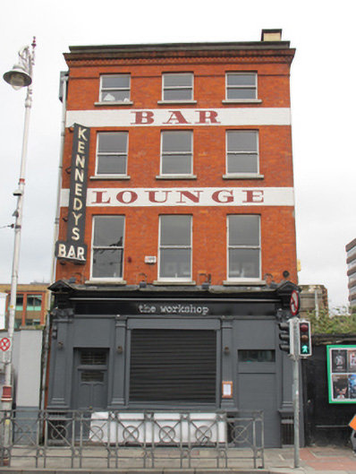 The Workshoppublic house · 115 yd
 Burning of the Custom Housearmed conflict · 116 yd
 Matt Talbot 1856-1925Memorial · 134 yd
 Spanish Civil War International BrigadeMemorial · 196 yd
 17 October UN International Day for the Eradication of PovertyMonument · 280 yd
 Quay in Unknown TownlandQuay · 302 yd
 EPIC The Irish Emigration MuseumMuseum · 389 yd
 Oriental planeOriental plane · 402 yd
 Bigleaf MapleBigleaf Maple · 482 yd
Other information
Photo: Eric Jones · CC BY-SA 2.0