What is recorded here
Situated on the Nenagh Bypass route. Site uncovered during the monitoring/testing in advance of Nenagh Bypass. A roughly circular structure (dims. c.10.5m N-S x 12m) consisting of a series of post- and stake-holes which did not form a clearly identifiable structure and a number of associated pits (O'Brien 2000, 196). The largest pit (dims. 1.5m x 2m; D 0.46m) lay immediately N of the post-holes and was filled with charcoal- and burnt clay-flecked soil (ibid.). Finds included sherds of prehistoric pottery, charcoal and chert flakes (ibdi.).
Compiled by: Caimin O'Brien.
Date of upload: 22 September 2008
The monument record does not grant public access. Check the route and ask the landowner before entering private land.
- What survives
- Recorded monument
Places near here
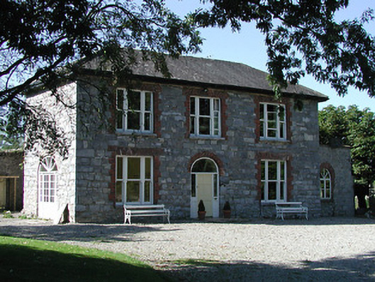 Knockalton Househouse · 965 yd
 LisatunnyFairy fort / earthen ringfort · 1043 yd
 LissatunnyArchaeological place · 1060 yd
 Gibbet HillMountain / peak · 1659 yd
 Lisbunny ChurchChurch · 1.1 mi
 Lisbunny CastleCastle, hall-house · 1.1 mi
 Ballintotty Castle (in ruins)Castle, tower house · 1.3 mi
 Old BarracksHeritage attraction · 2.0 mi
 Nenagh Heritage CentreMuseum · 2.1 mi
 James Devaney MemorialMemorial · 3.4 mi
 Sweet ChestnutSweet Chestnut · 4.2 mi
 Knockacraheen HillMountain / peak · 4.3 mi