
What is recorded here
Single-arch rubble limestone road bridge over stream, c.1825. Repaired, c.1950. Random squared rubble limestone walls with replacement mass-concrete parapets, c.1950. Single segmental arch with squared rubble limestone voussoirs, and rubble stone soffits having traces of render over. Sited spanning tributary of Dinin River with overgrown grass banks to stream.
A small-scale bridge representing an element of the early nineteenth-century civil engineering heritage of the locality. Despite substantial repair works in the mid twentieth century the essential characteristics of the composition survive intact including the profile of the arch displaying slender voussoirs.
This does not grant access. Most recorded buildings are privately owned; view them only from public ground unless the owner allows entry.
Places near here
 Kane's Bridgebridge · 735 yd
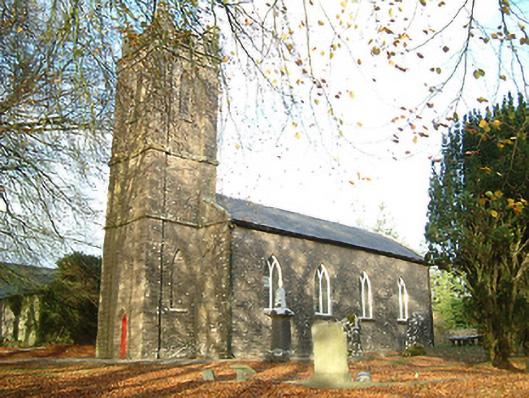 Coolcullen Church (Mothell)church/chapel · 1.5 mi
 Uskerty WoodForest · 2.3 mi
 Clogharinka Castle (in ruins)Castle, unclassified · 2.3 mi
 Clogharinka MotteArchaeological place · 2.3 mi
 Enclosure in RidgeEnclosure · 2.5 mi
 SycamoreSycamore · 2.6 mi
 Gallows HillMountain / peak · 4.1 mi
 Ballyfoyle Castle (in ruins)Castle, tower house · 4.4 mi
 Edward BurkeMemorial · 4.4 mi
 Estate YardMemorial · 5.2 mi
 Footprints In CoalMuseum · 5.2 mi
Other information
Photo: National Inventory of Architectural Heritage · Website use allowed for educational or private purposes with source credit