What is recorded here
No visible grave marker remains in Cor Tynan, only the possibility that burial once belonged there. The name itself hesitates, preserving doubt instead of claiming certainty. A graveyard may have been lost to soil, reuse or forgetting, yet the question mark keeps its absence alive.
The official Northern Ireland record identifies this as GRAVEYARD? (unlocated). Recorded period: UNCERTAIN. The official map point was placed at the centre of the recorded archaeological site from the source map reference.
The monument record does not grant public access. Check the route and ask the landowner before entering private land.
- What survives
- Recorded monument
Places near here
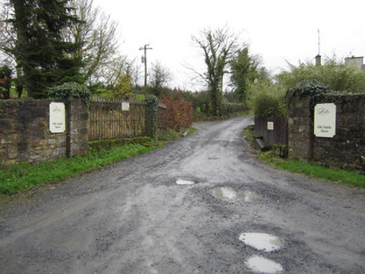 Castle Lesliedemesne walls/gates/railings · 828 yd
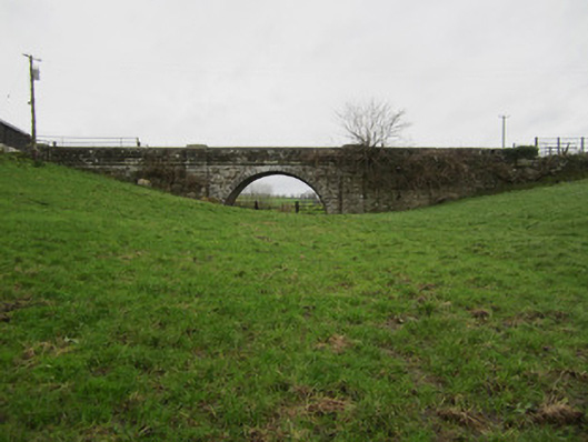 bridgebridge · 977 yd
 Harry LaveryMemorial · 1099 yd
 Old WoodForest · 1298 yd
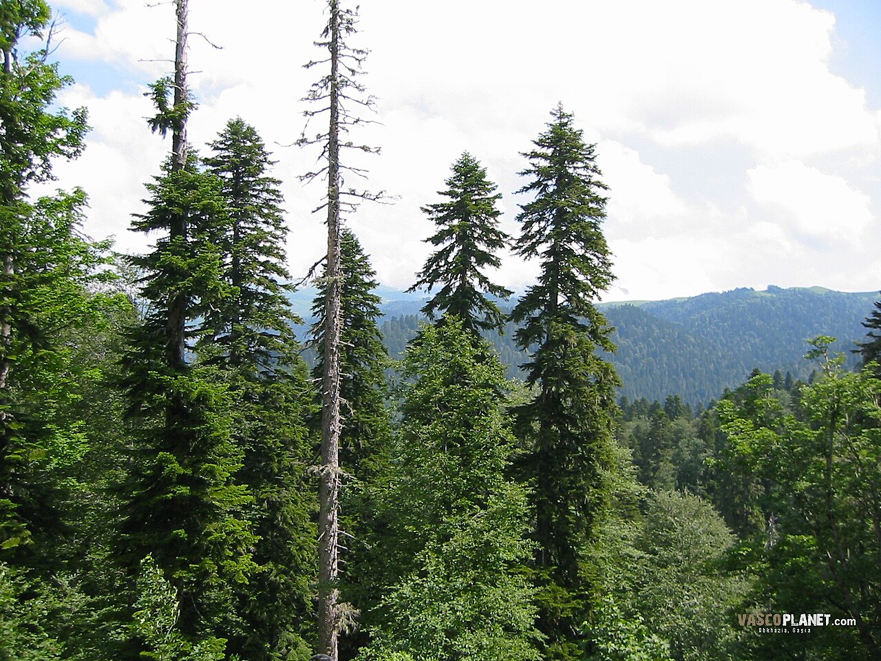 Caucasian FirCaucasian Fir · 1.1 mi
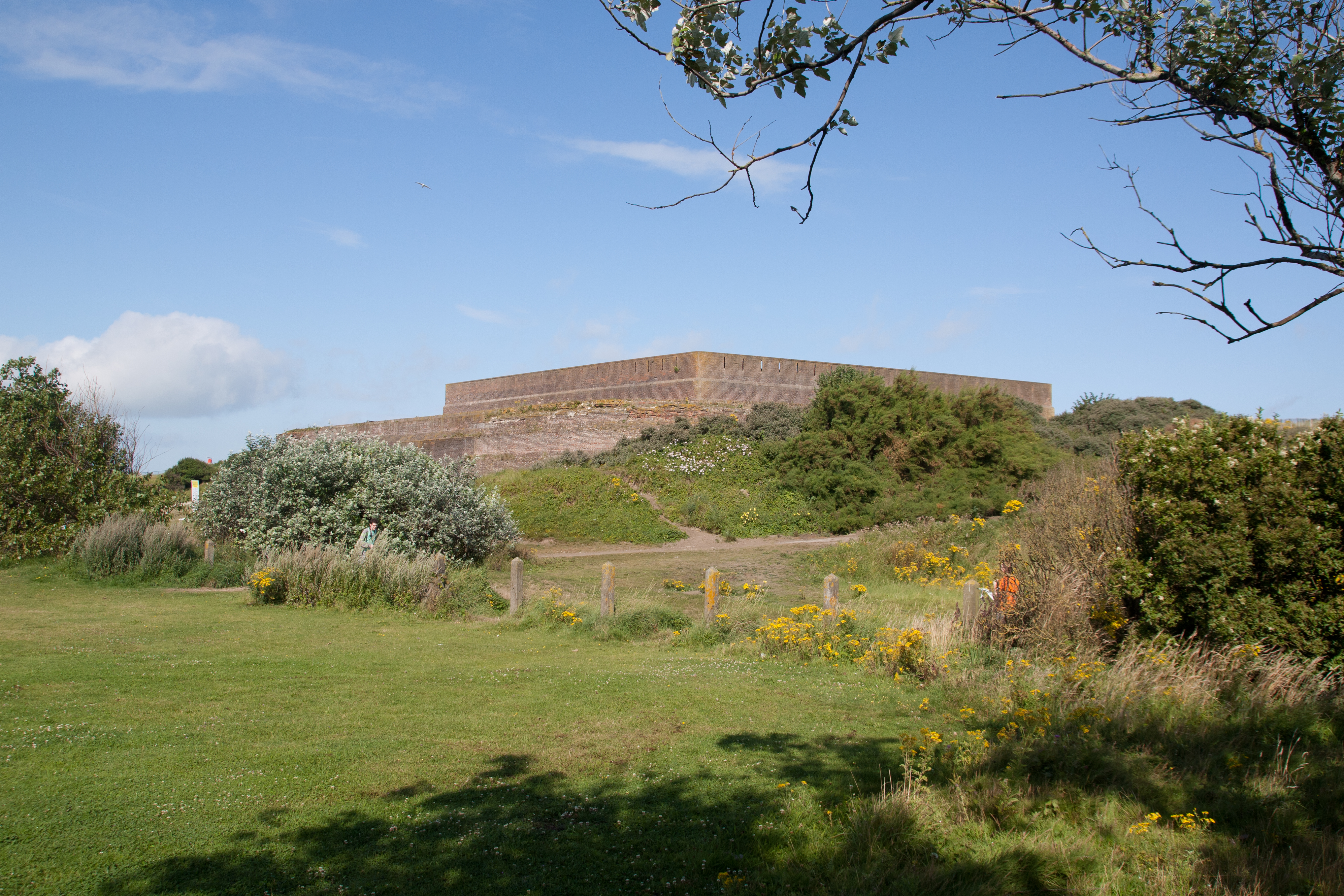 Bastioned fort in GlasloughBastioned fort · 1.1 mi
 IndicatedGraveyard · 1.1 mi
 Emyvale Heritage TrailVisitor information · 4.1 mi
 Monaghan County MuseumMuseum · 6.4 mi
 St. Muadain's WellSpring · 6.6 mi
 Navan FortArchaeological place · 6.9 mi
 Battle of BenburbMajor battlefield · 7.8 mi