What is recorded here
No exact coordinates survive, but a graveyard still stands behind that blank label. It may hold forgotten people, lost carts or abandoned tools. The absence of a point does not erase the dead or the hands that buried them.
The official Northern Ireland record identifies this as GRAVEYARD (unlocated). Recorded period: UNCERTAIN. The official map point was placed at the centre of the recorded archaeological site from the source map reference.
The monument record does not grant public access. Check the route and ask the landowner before entering private land.
- What survives
- Recorded monument
Places near here
 FORTIFICATION: BRUCE'S CASTLE in BallycarryFORTIFICATION: BRUCE'S CASTLE · 378 yd
 Rathlin CastleRuins · 394 yd
 Brackens CaveCave · 404 yd
 Drystone enclosure: possible boat shelter in BallynoeDrystone enclosure: possible boat shelter · 566 yd
 Ballycarry Trail, RathlinWalking route · 672 yd
 POSSIBLE PROMONTORY FORT in CraigmacaganPOSSIBLE PROMONTORY FORT · 771 yd
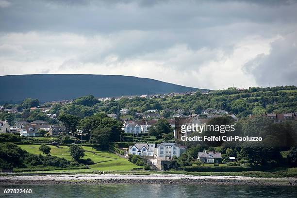 CarrickagileHeadland · 789 yd
 Rathlin East (Altacarry Head) LighthouseLighthouse · 822 yd
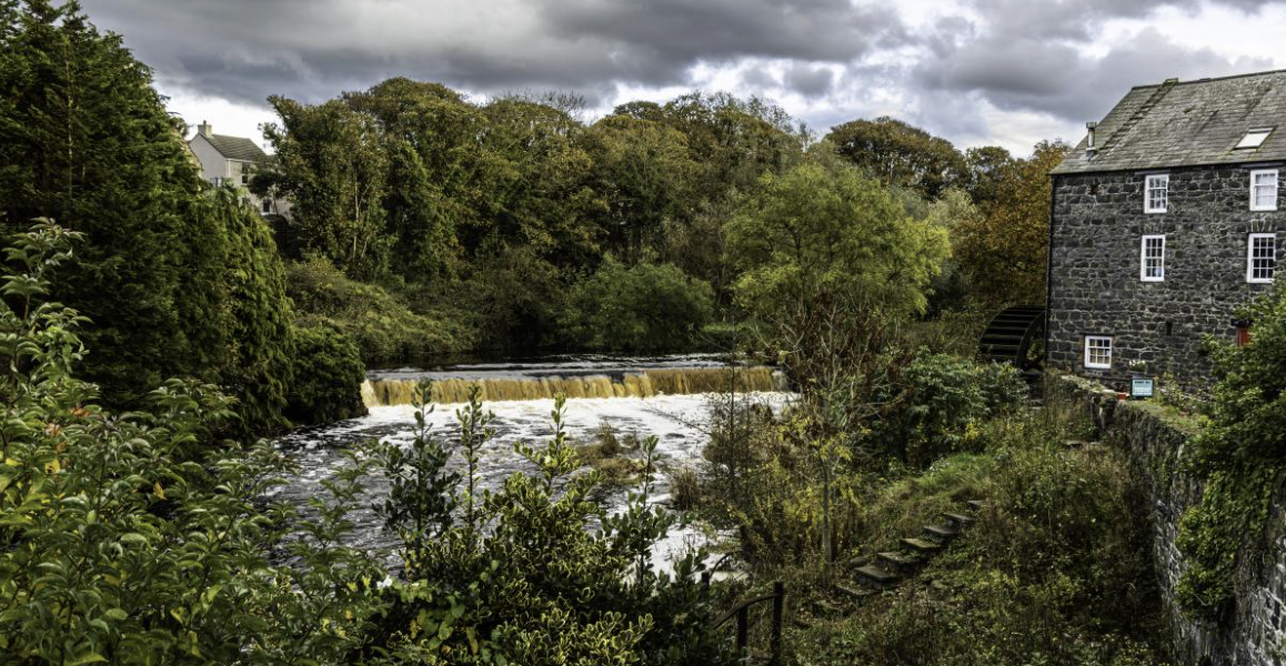 RuenascarriveHeadland · 1410 yd
 Boathouse Visitor Centre & MuseumMuseum · 1430 yd
 Boat HouseBoat House · 1430 yd
 Rathlin IslandIsland · 2.2 mi