What is recorded here
Bradach in Breda, County Down, holds a medieval church and graveyard where stone and soil still mark the lives of people long gone. The site has survived into the post-medieval period, keeping a continuous shadow across the land. That continuity suggests worship, burial and memory belonged to the same place long before modern borders drew their lines.
The official Northern Ireland record identifies this as GRAVEYARD & site of MEDIEVAL CHURCH: BRADACH. Recorded period: MEDIEVAL; POST-MED. The official map point was placed at the centre of the recorded archaeological site from the source map reference.
Medieval church site and graveyard; dates to the Medieval period. Significance lies in its association with ecclesiastical activity and post-medieval burial practices in the region.
The monument record does not grant public access. Check the route and ask the landowner before entering private land.
- What survives
- Recorded monument
Places near here
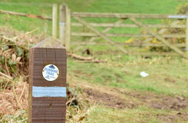 Lagan TrailWalking route · 401 yd
 Belvoir Park ForestForest · 655 yd
 Highway to Health, CastlereaghWalking route · 733 yd
_parish_church,_Belfast_(August_2014)_-_geograph.org.uk_-_4107390.jpg?width=1280) Knockbreda Parish ChurchChurch · 814 yd
Knockbreda Parish ChurchChurch · 814 yd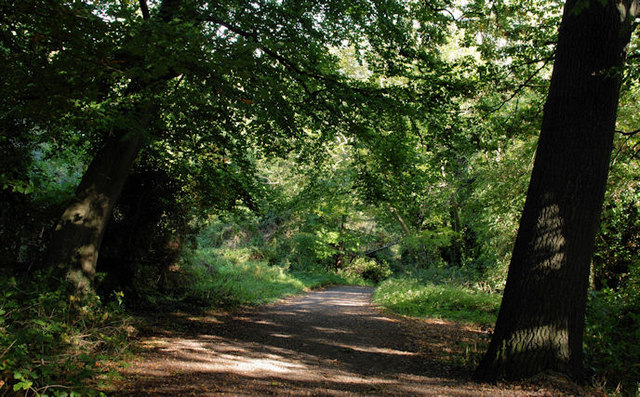 Lagan MeadowsNature reserve · 888 yd
 Boundary PostBoundary Marker · 990 yd
 FORTIFIED HOUSE & ?BAWN (unlocated): MOSES HILL'S HOUSE in Malone LowerFORTIFIED HOUSE & ?BAWN (unlocated): MOSES HILL'S HOUSE · 1.1 mi
 ENCLOSURE in BallynavallyENCLOSURE · 1.1 mi
 ENCLOSURE in BredaENCLOSURE · 1.2 mi
 Lisnabreeney WaterfallWaterfall · 1.4 mi
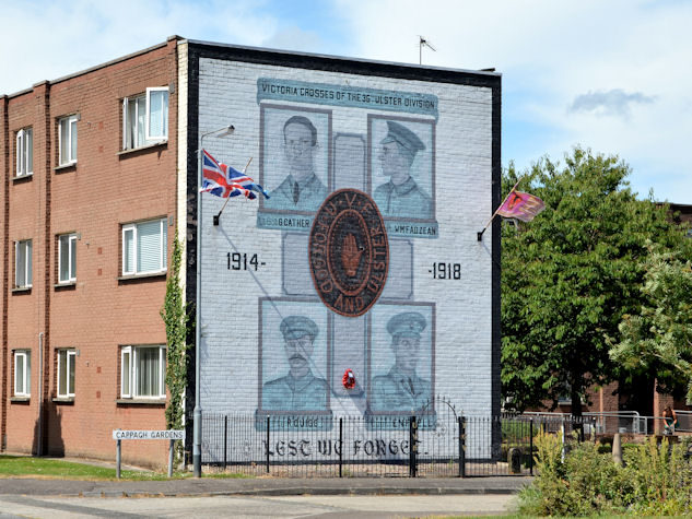 Victoria Crosses of the 36th Ulster DivisionMemorial · 1.4 mi
 MinnowburnVisitor information · 1.4 mi